
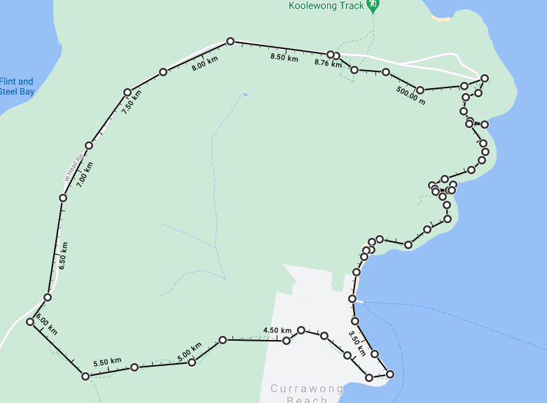
Resolute – Mackerel Beach Loop
There are many good walks on West Head, one of best is the Resolute Beach Loop. This is my variation which extends the walk a bit, at the expense of a bit of road walking to close the loop, including (Great) Mackerel Beach rather than visit it as an out and back. The walk is on the eastern side of West Head and visits 3 beaches in Pittwater. About 10km, with time for swimming on the way.
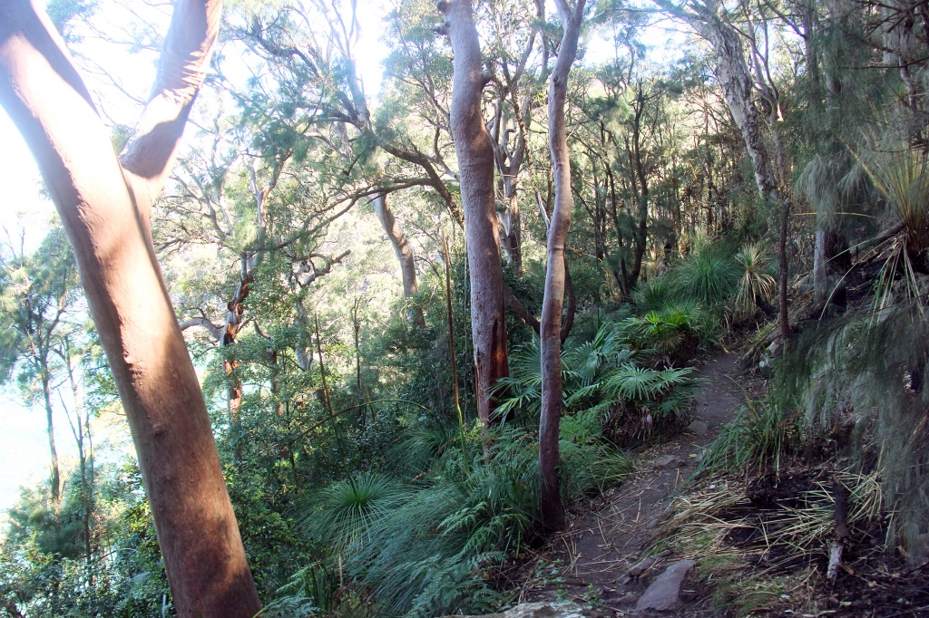
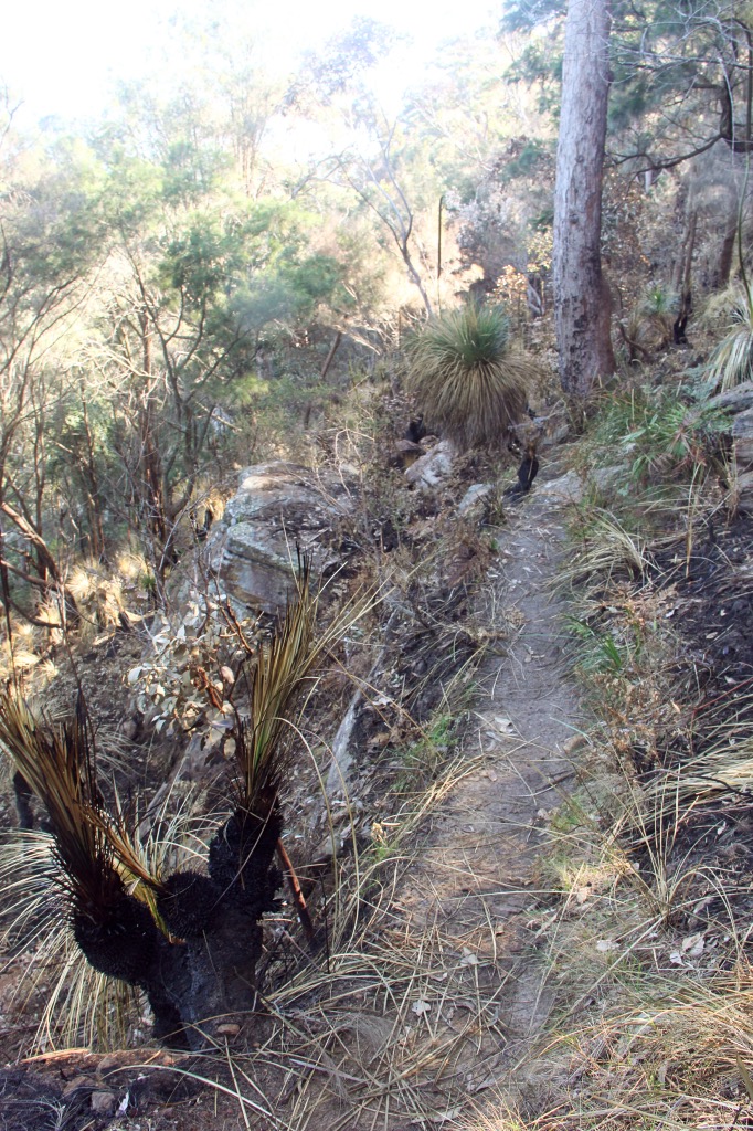
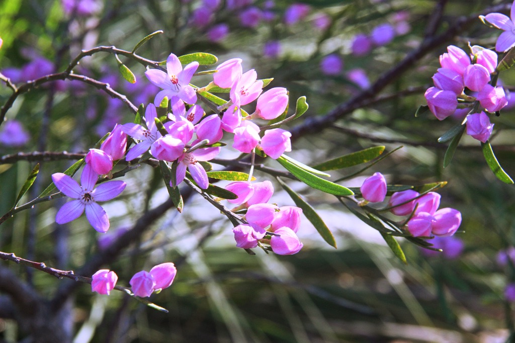
I started from the Resolute Picnic Area car park on West Head road and followed the Red Hands track towards West Head, which tracks through some nice forest. I visited just after a backburn so the undergrowth was a bit singed.
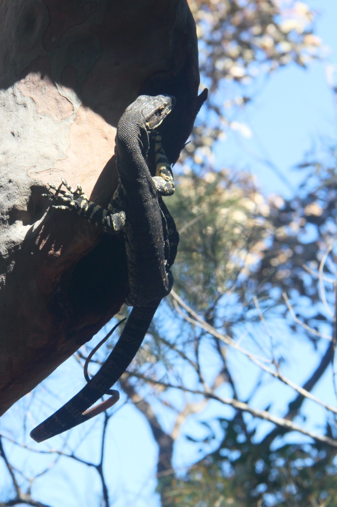
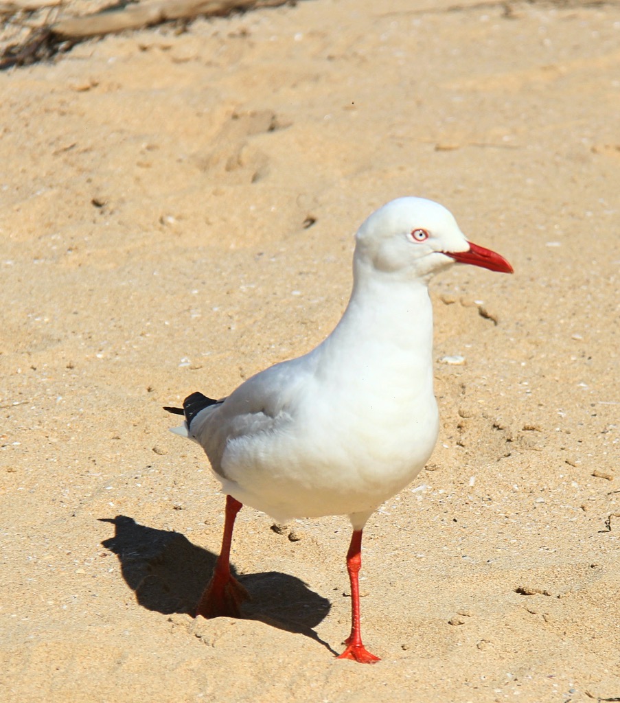
Keep on the easy track through the forest, keeping an eye out for the wildlife. This guy was extracting himself upside down from a hole in the tree.
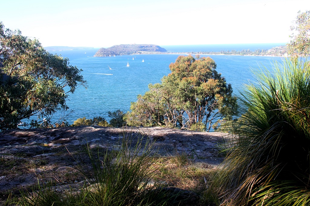
West Head lookout is soon upon you.
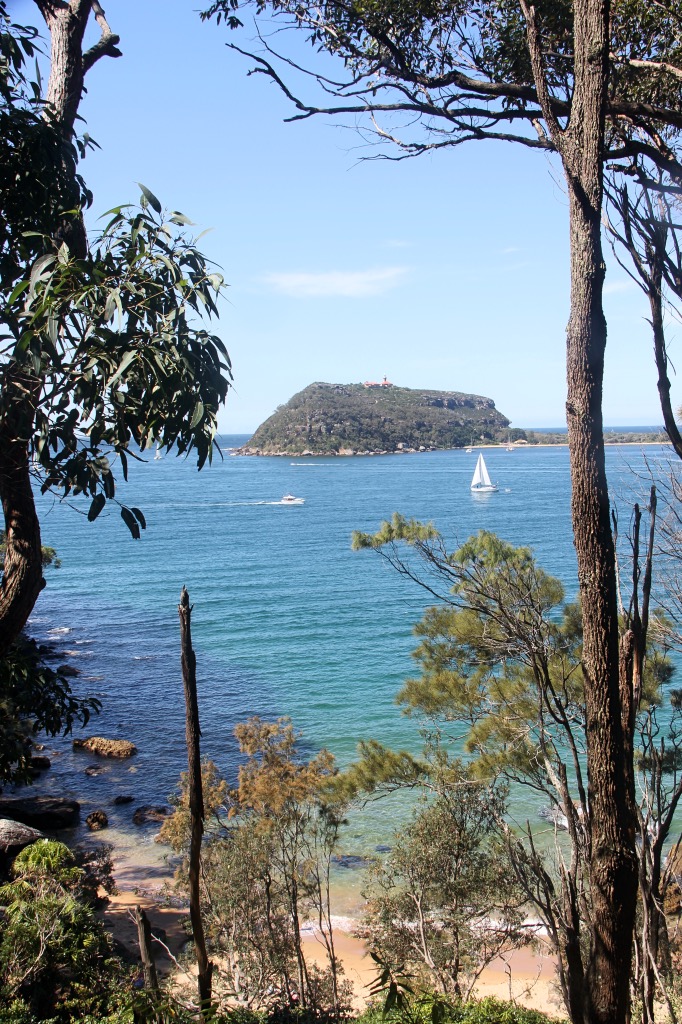
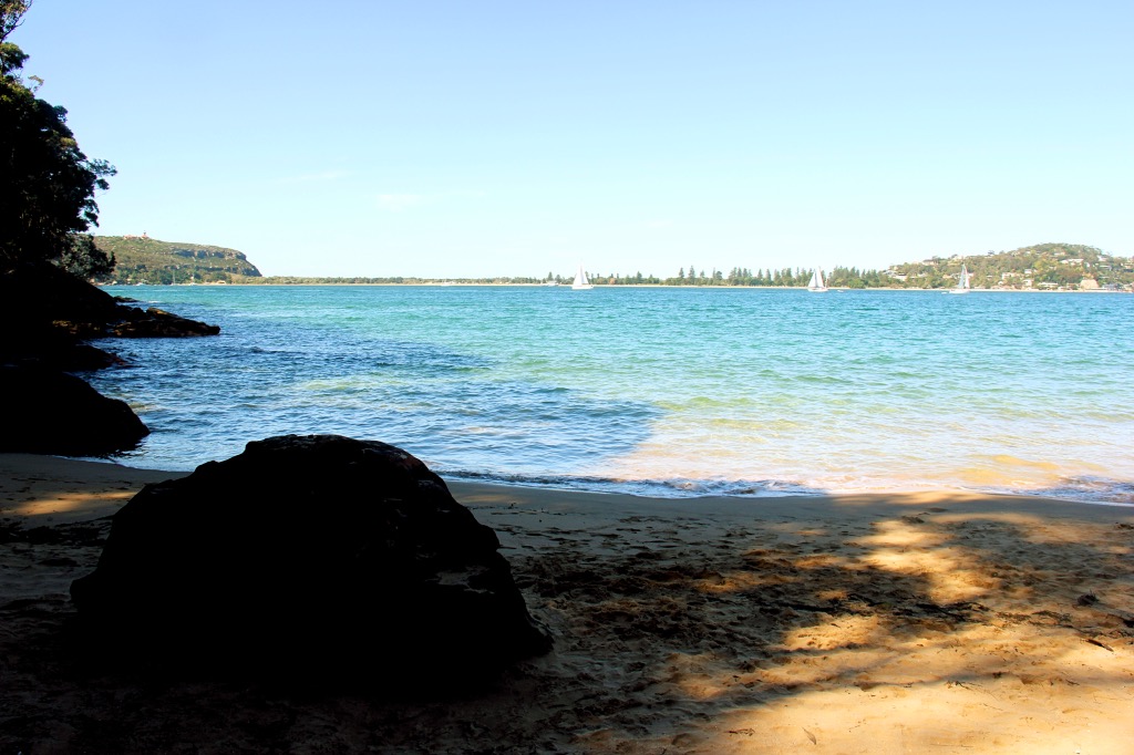
Head off from West Head on the Resolute track. The first beach to visit is West Head beach, which is a small rocky beach, soon reached. Its only a short climb down the path from the track to the sand and water, a good spot for a short break.
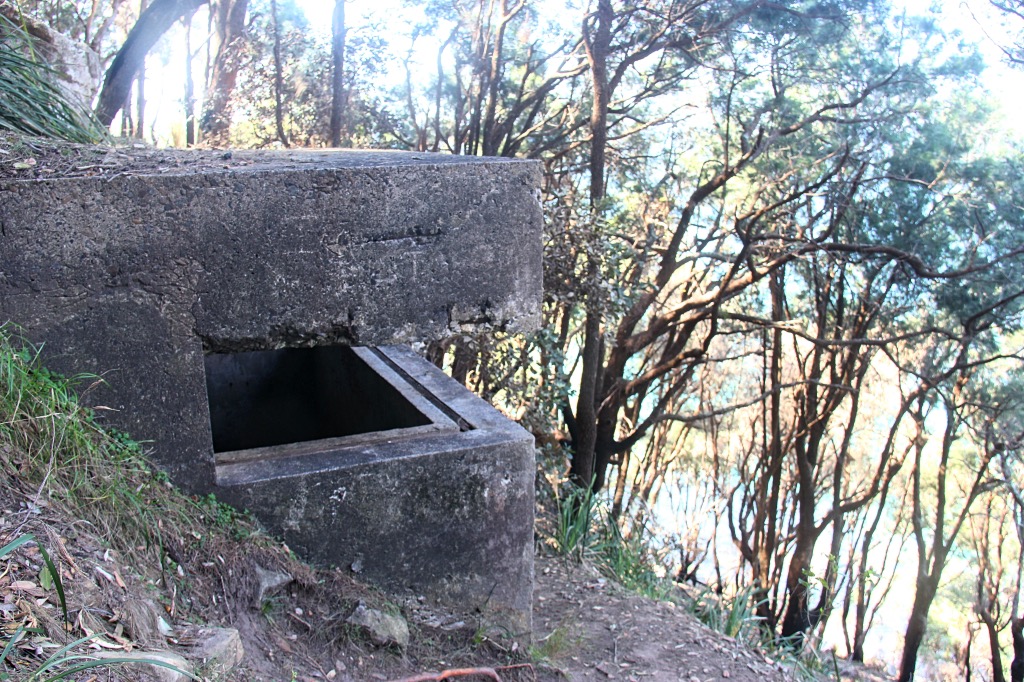
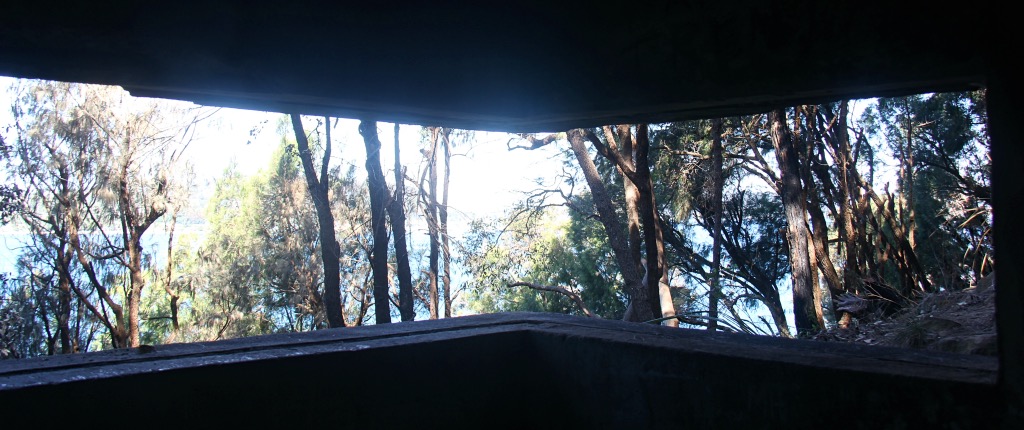
Rejoin the Resolute track which continues to sidle the hill, and soon you reach an old WWII observation bunker, one of several in the West Head area.
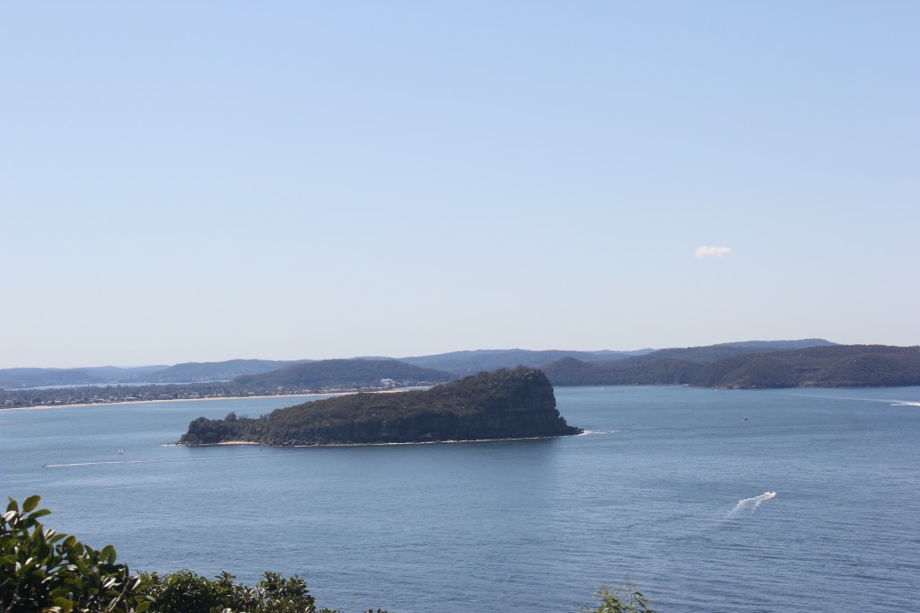
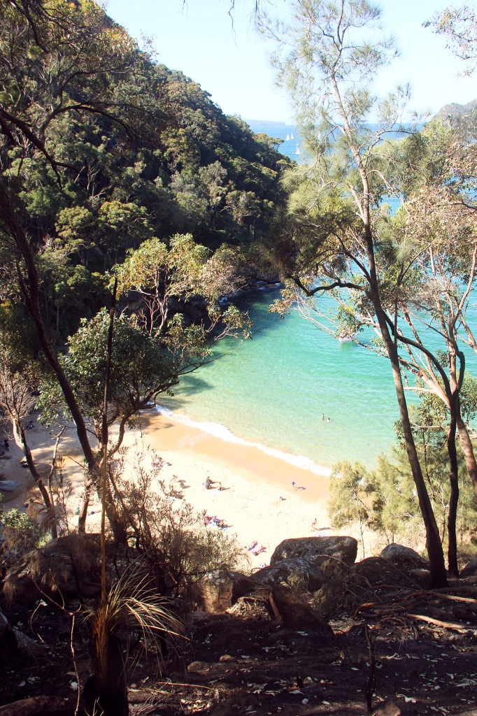
The track follows the contour of the hill towards Resolute Beach, the next stop south.
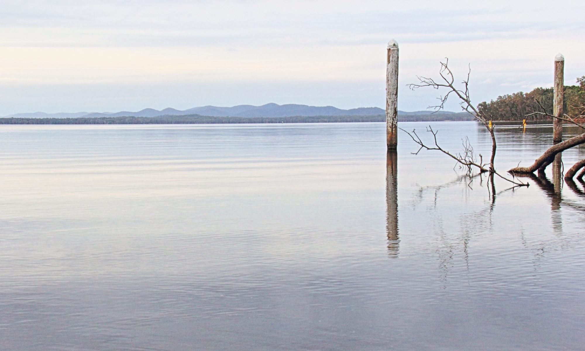
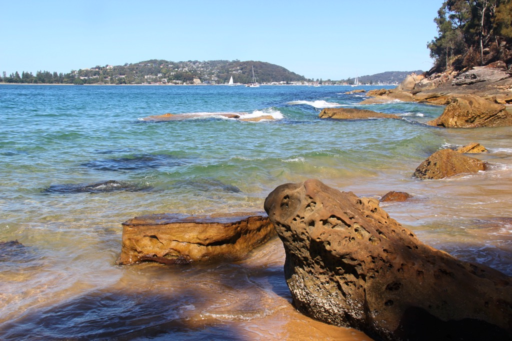
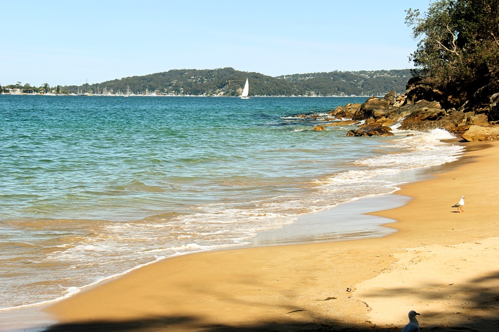
Soon Resolute Beach is upon you. Good spot for lunch and a swim.
After your break, climb steeply back to the track and continue to sidle south. There is another track back to Resolute Picnic Area by the road here, but I continue on towards Mackerel Beach, sometimes called Great Mackerel Beach.
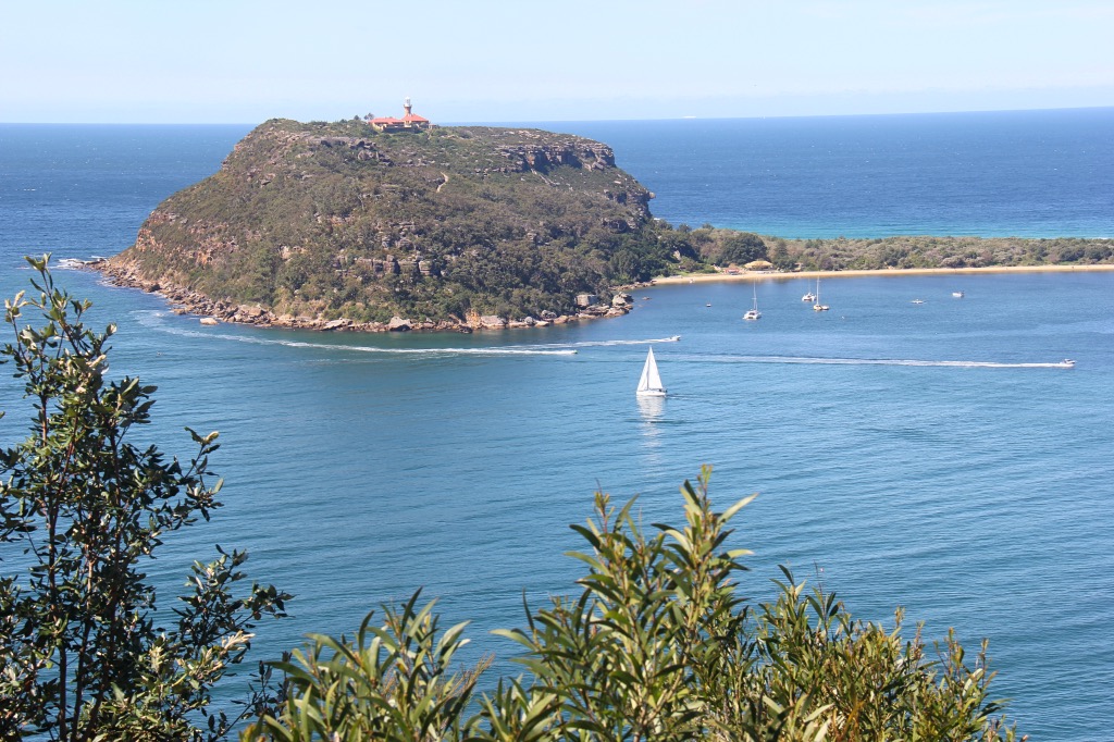
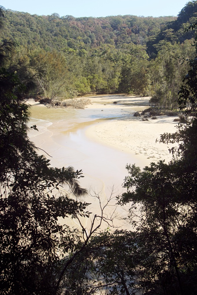
Mackerel Beach has a small creek flowing across the beach at the northern end and as an enclave in the National Park has a jetty, and freehold houses.
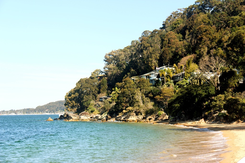
Some people now backtrack to Resolute Beach and out to the picnic area, however there is a track up the ridge at the southern end of Mackerel Beach (Sinclair Point). Walk south along the beach, past the jetty and towards the houses at the southern end. (Nominally Ross Smith Parade, but there is no road, just entrances to the houses). At one point you need to walk under one of the houses (there is an arrow) to get through to the point, where its easy to pick up the Mackerel track (round red reflectors) up the ridge.
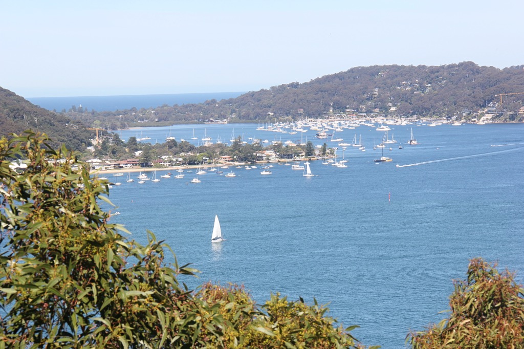
Climb up the ridge track and enjoy views back over Mackerel Beach, Pittwater and the way you have come.
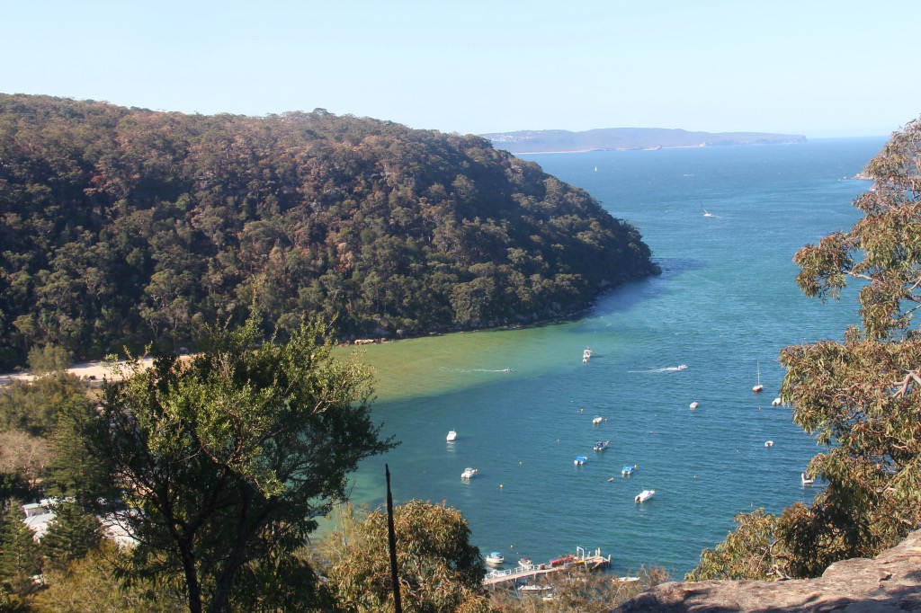
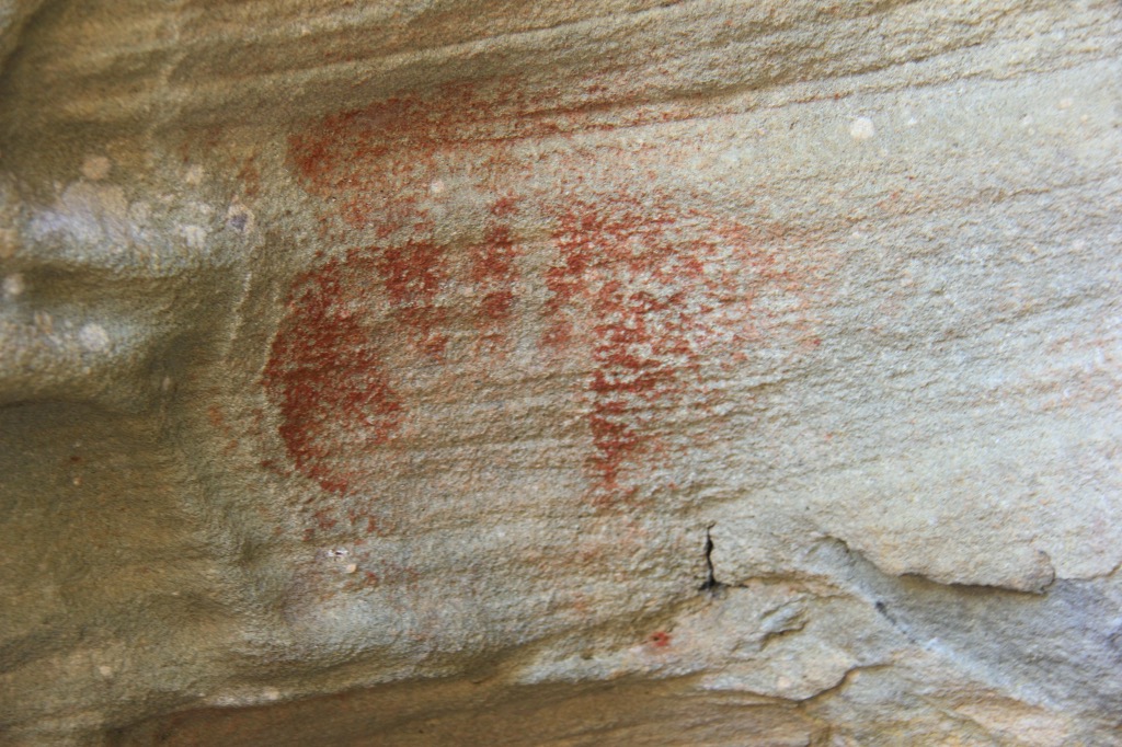
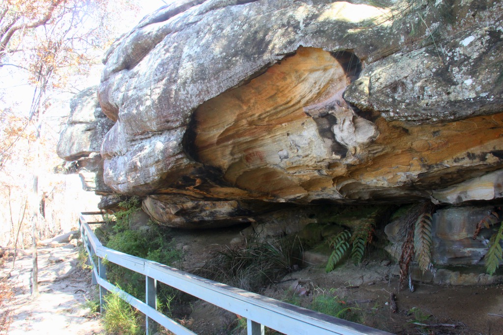
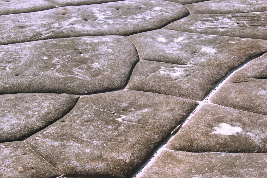
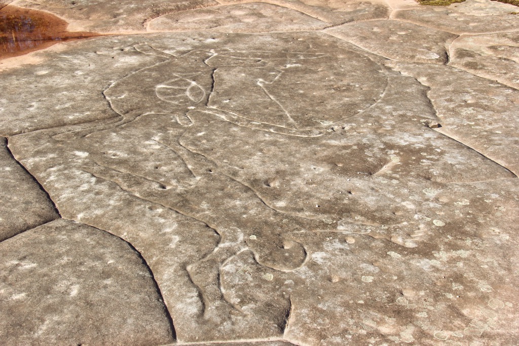
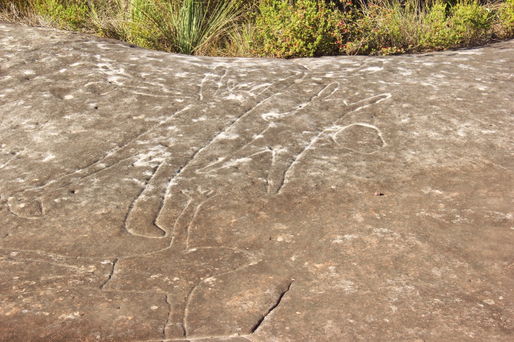
The ridge track soon widens and becomes a fire trail and after a couple of kilometers joins the Basin trail. Turn right onto this and soon you will be at the Aboriginal engravings site, which is large and has a lot of visible engravings.
Continuing on the Basin trail, the West Head road is close. A right turn (to the east) and a few kilometers walking along beside the undulating tar road will have you back at the start. Needless to say this is not the most pleasant part of the walk. If you don’t want to do the road walk, head back to Resolute from Mackerel beach.
Spending a few hours on a nice spring day on this walk, will reward with beautiful forest, local history both new and old, brilliant views, beach swimming, lunch and an enjoyable stroll.