The Great North Walk (GNW) is a 250km walk from Sydney to Newcastle.
Very good information on this can be found here:
http://www.thegreatnorthwalk.com/
So there is not much point adding to that. I think one of the great things about GNW is many section can be done using public transport for start and finish access points.
The walk can be done in lots of ways, but here its a bits and bobs approach by which I mean a bit at a time. So day walks etc, which may be out of order. I have walked a couple of sections in the past too.
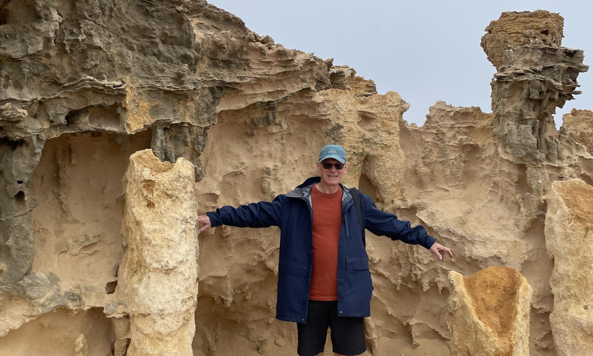
Part 1 – Sydney to Lindfield (March 2021, about 17km + a ferry ride)
Since I live in Lindfield, close to the Lane Cover River valley, the first section of the GNW for me is from the start in Macquarie Place in Sydney and walk home. For others a different end route will lead to North Ryde station.
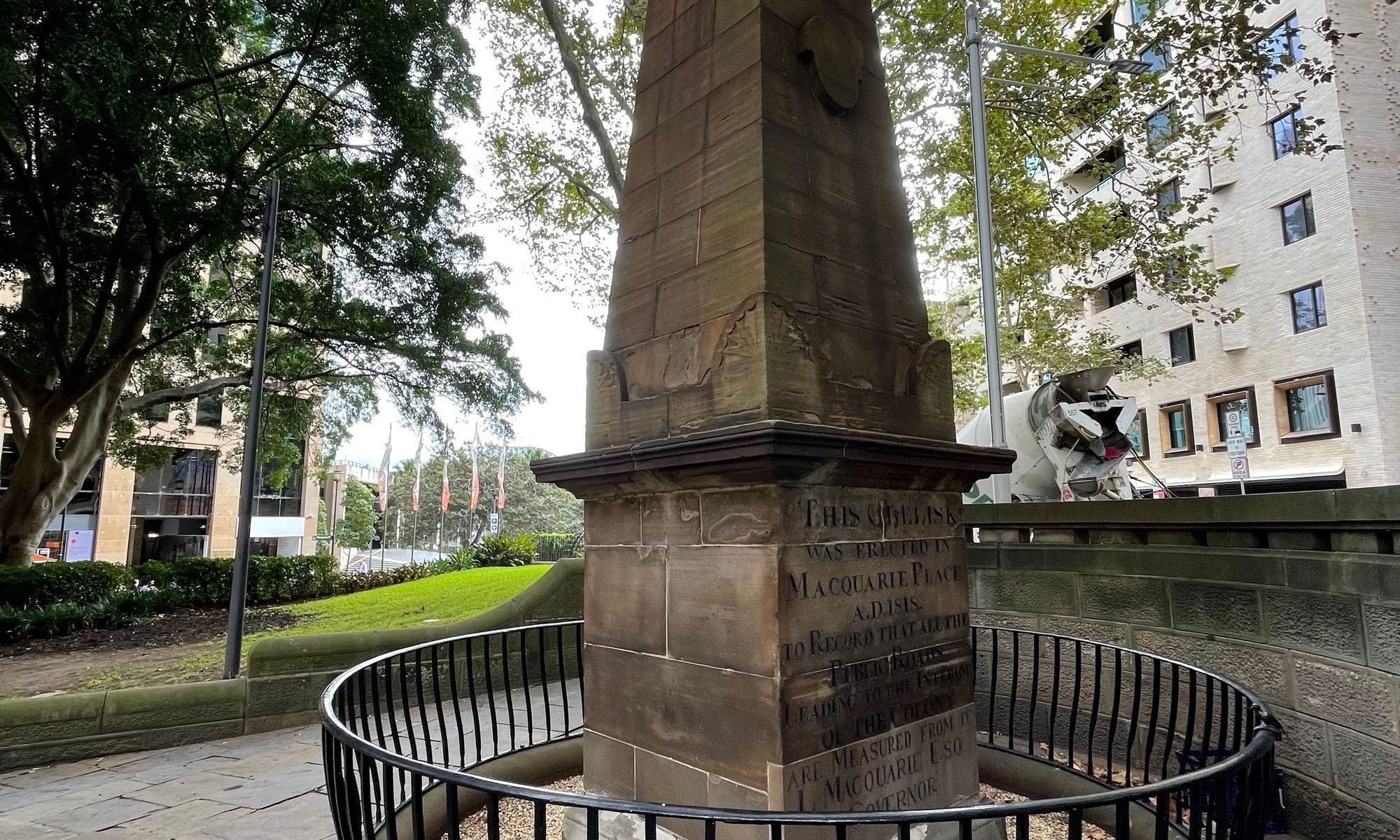
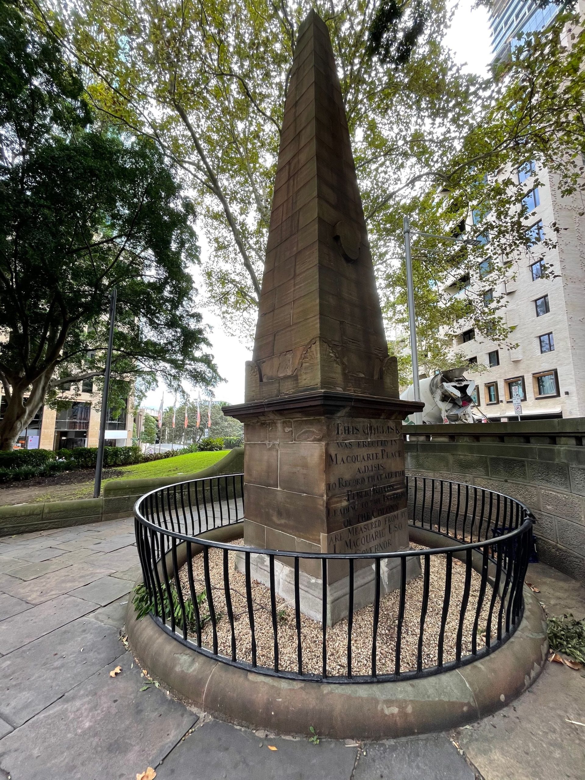
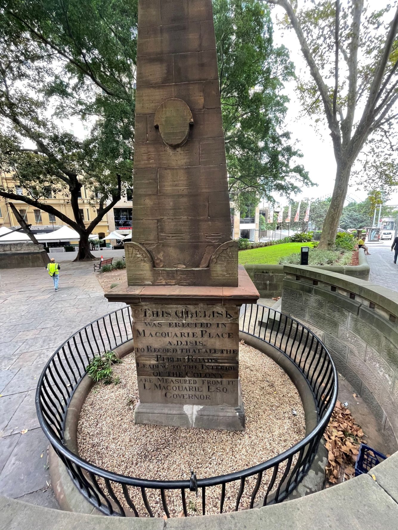
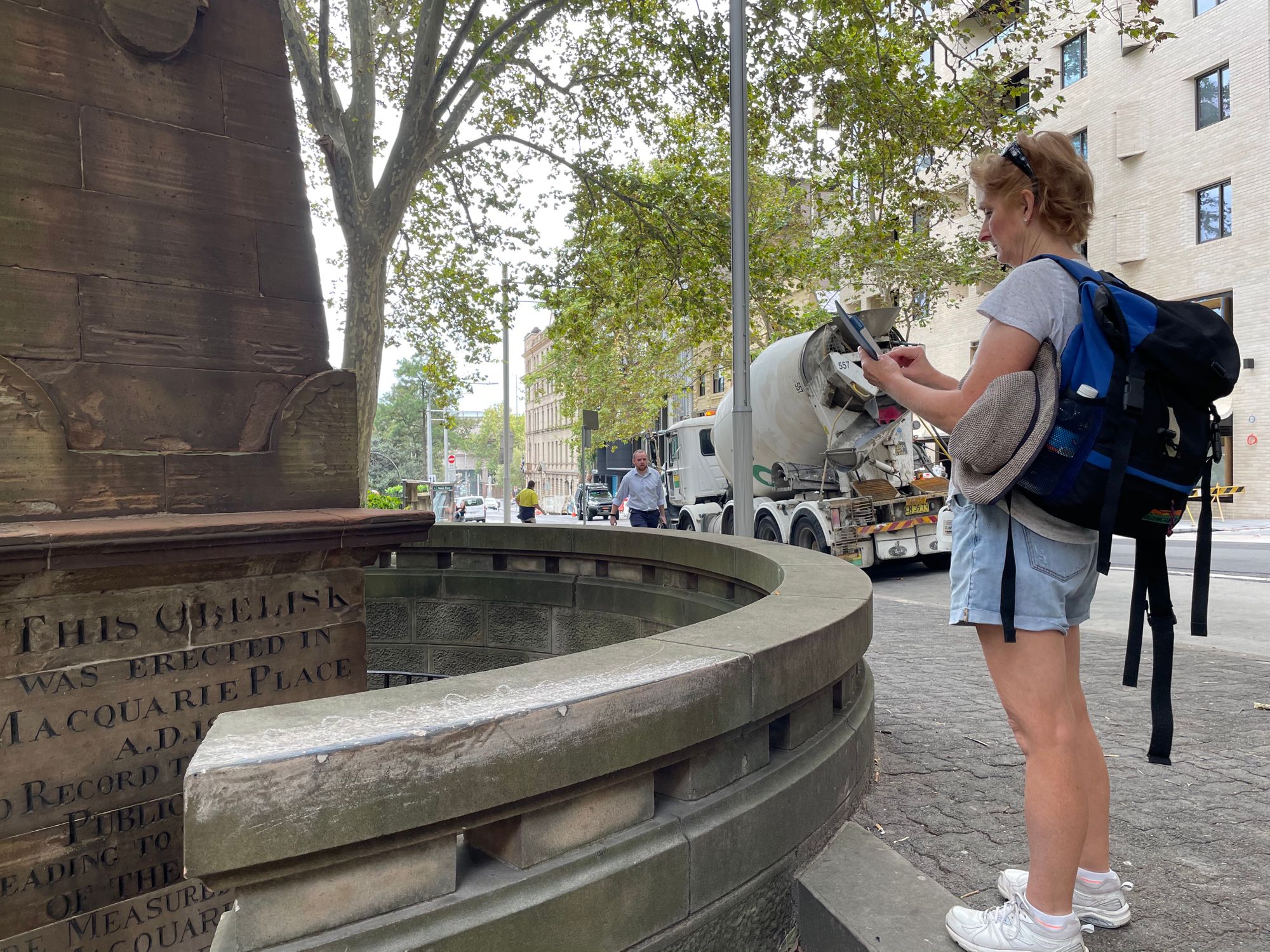
Start
So train to Wynyard station then a short street walk to the start, Macquarie Place (corner of Bridge and Loftus Sts), where the original “0” milestone for NSW is.
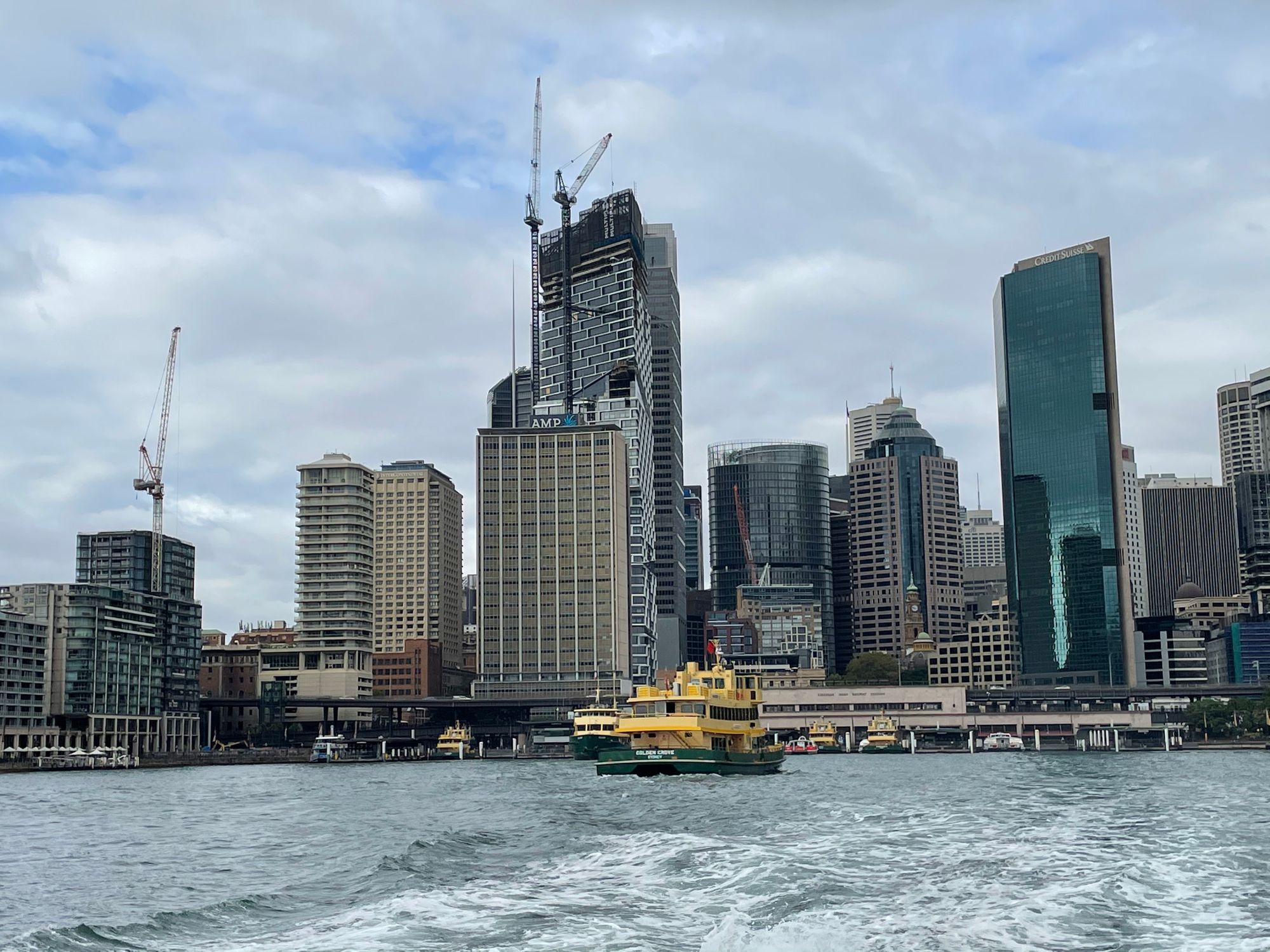
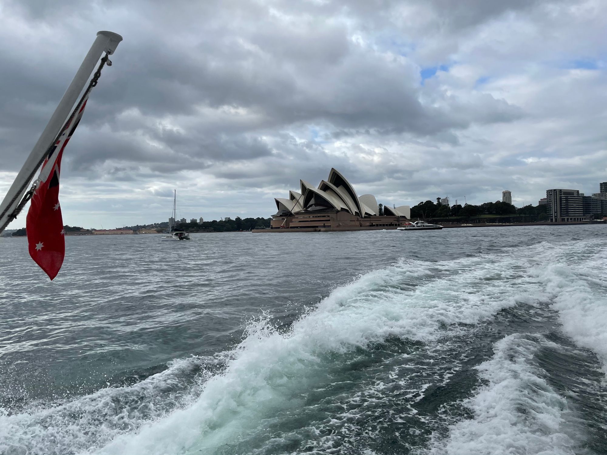
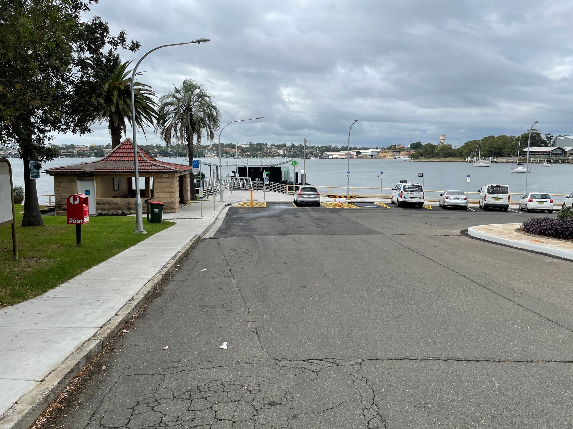
Circular Quay – Ferry to Woolwich
Straight down Loftus street to Circular Quay and to Pier 5 for the Woolwich ferry. This stops a few time at Balmain, Birchgrove, Greenwich and takes 20 mins or so the reach Woolwich. Its nice to be on the harbour for this stint.
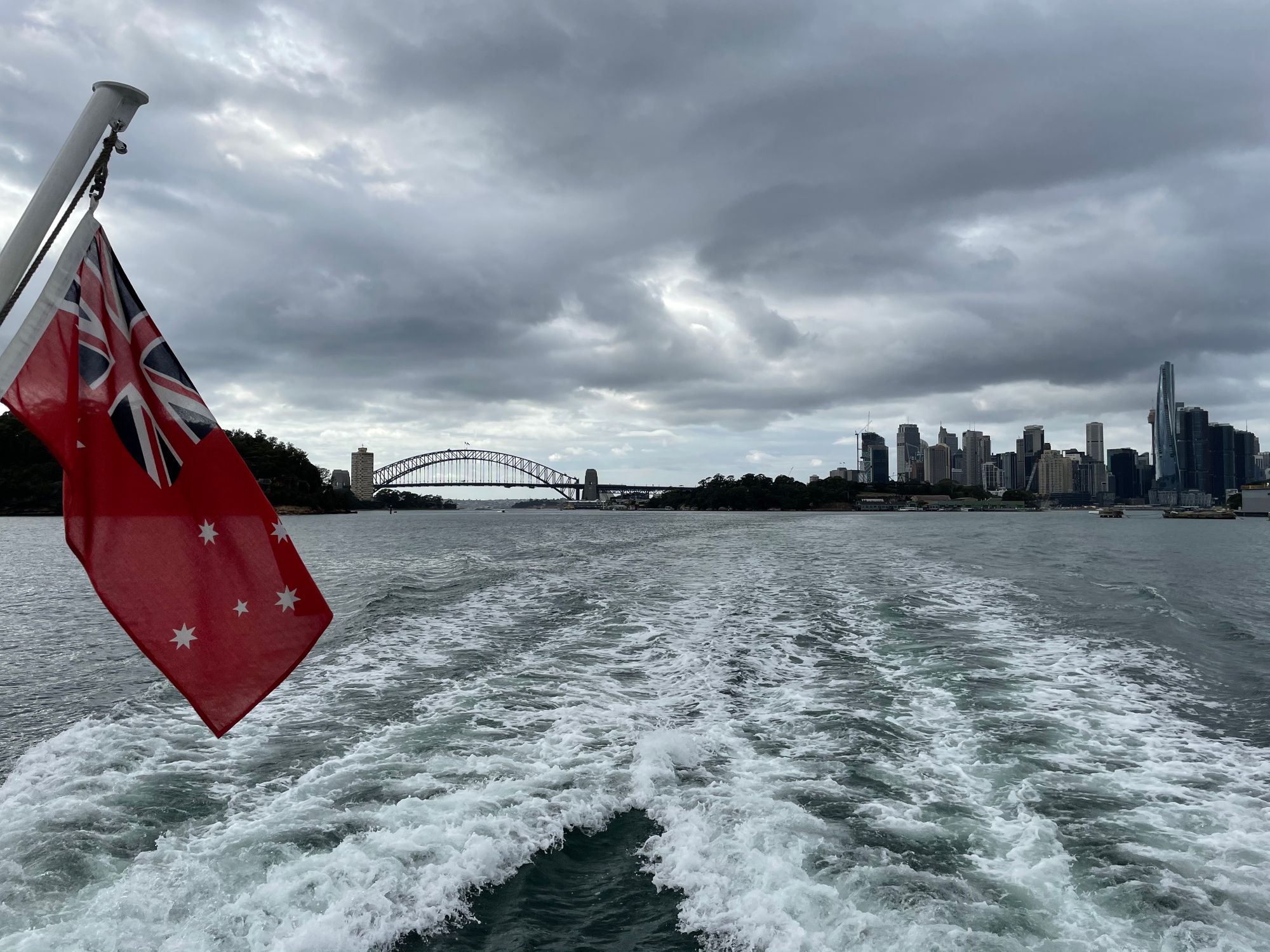
Woolwich
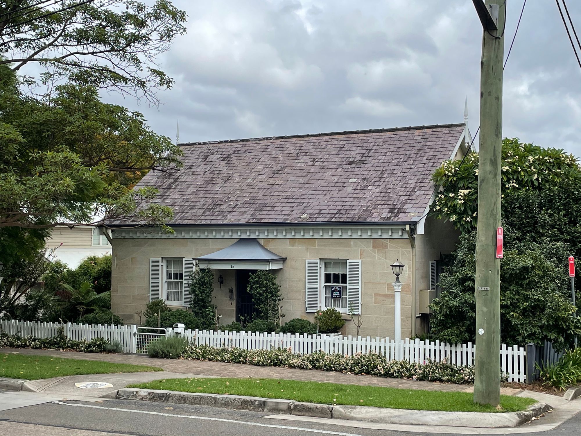
At Woolwich, the ferry arrives at the Valentia St wharf. From here you meander through the street of Woolwich and Hunters Hill, passing many historic building and houses, some going back to the later 1860’s.
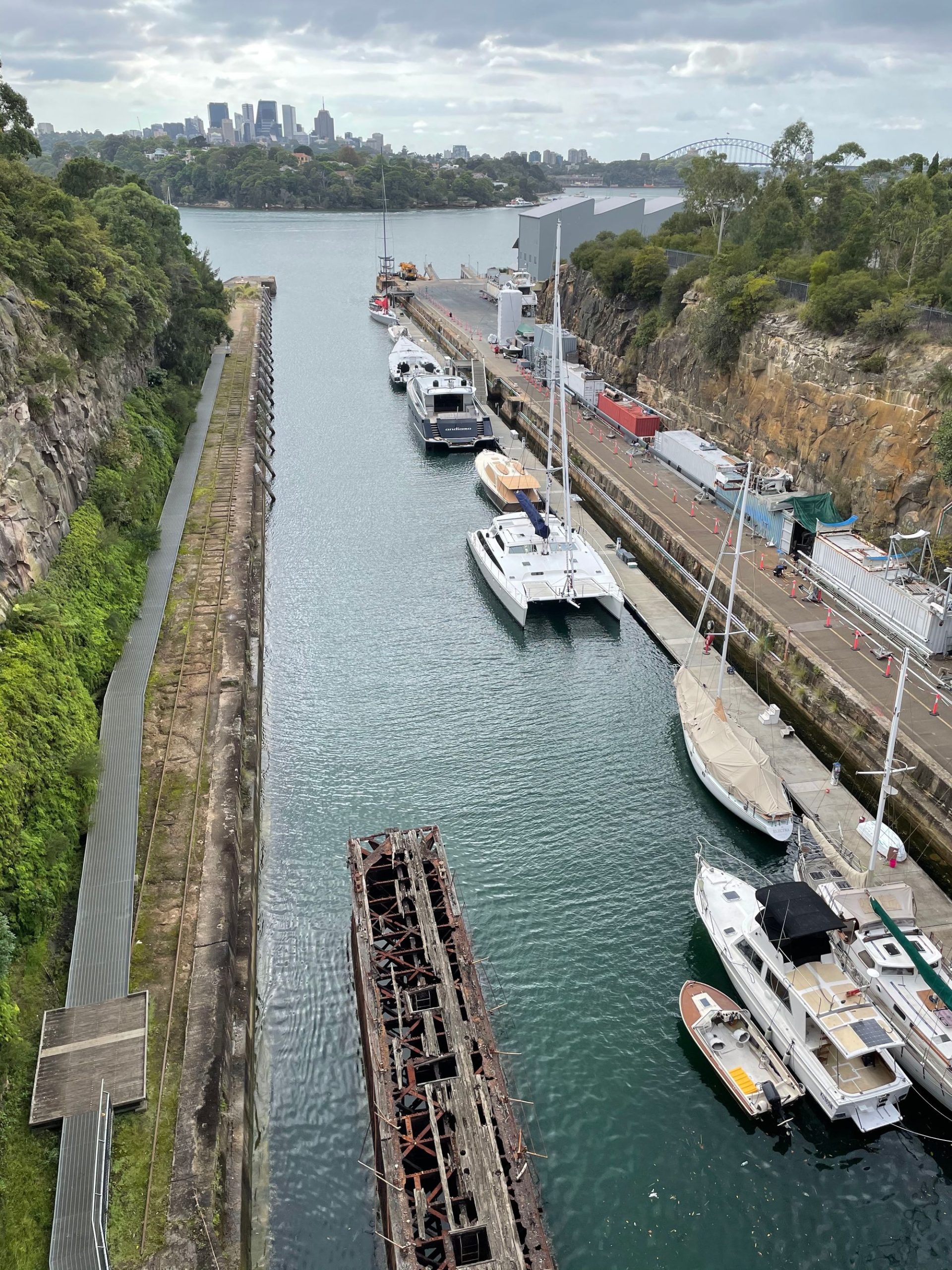
Follow Woolwich Road up and past the well known Woolwich Pier to the Goat Paddock and Morts dock. Excavated in 1901 this was the largest dry dock in Australia (188m x 27m) and is quite a spectacular feature here.
Harbour waterfront
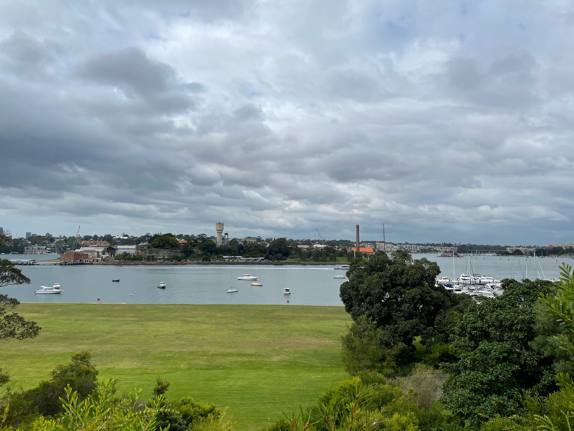
Cross the Goat Paddock and follow the streets along the waterfront opposite Cockatoo Island to reach Kellys Bush, a bushland buffer zone originally near a smelter.
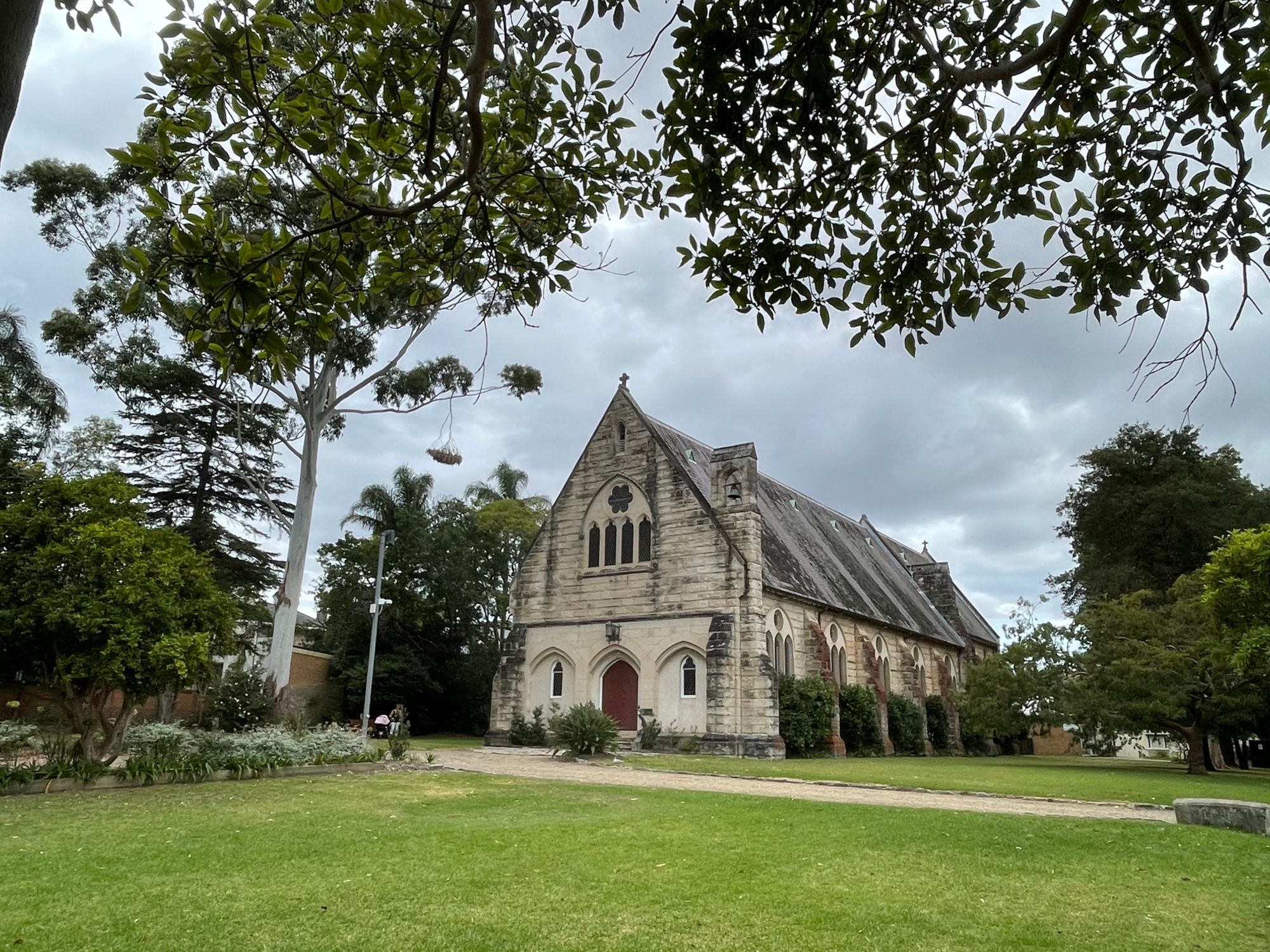
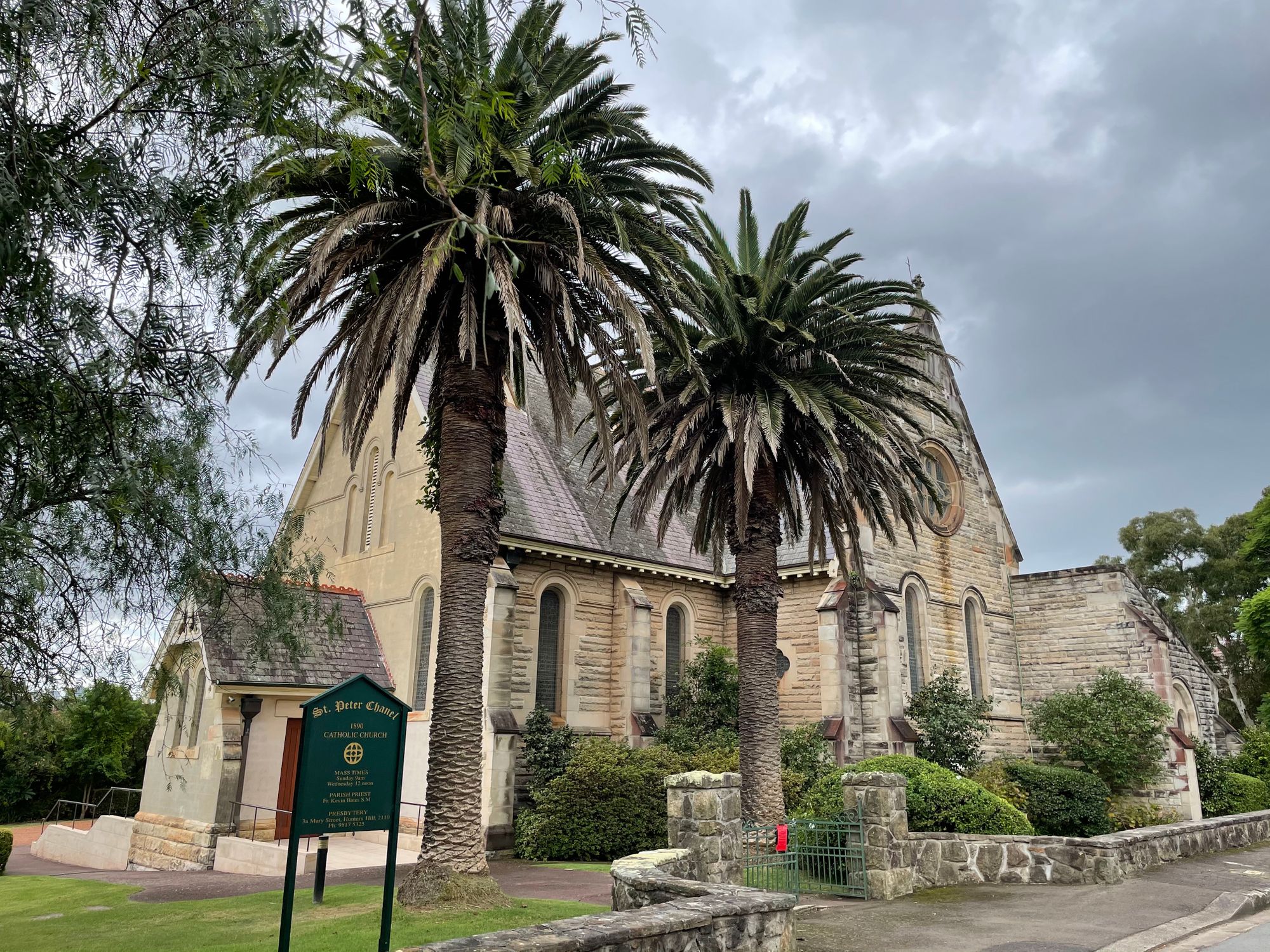
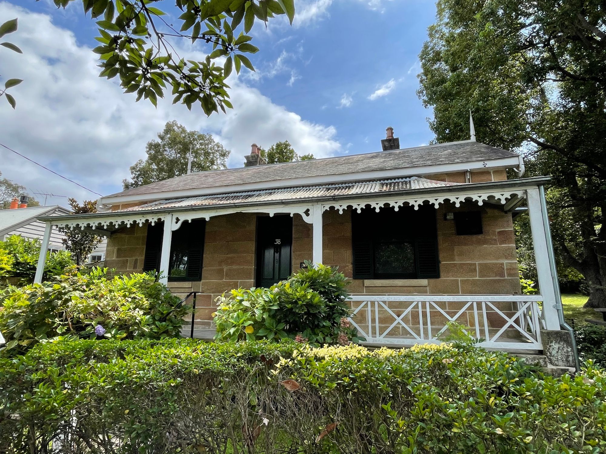
Backstreets and Historic Buildings
After the bushland section through Kelly Bush, the GNW takes a meandering path through the backstreet of Hunter Hill, famous for its historic sandstone buildings and cottages. At some points the walk finds little passageways between properties and surprises with a foreshore walk and a hidden secret passageway.
Coffee?
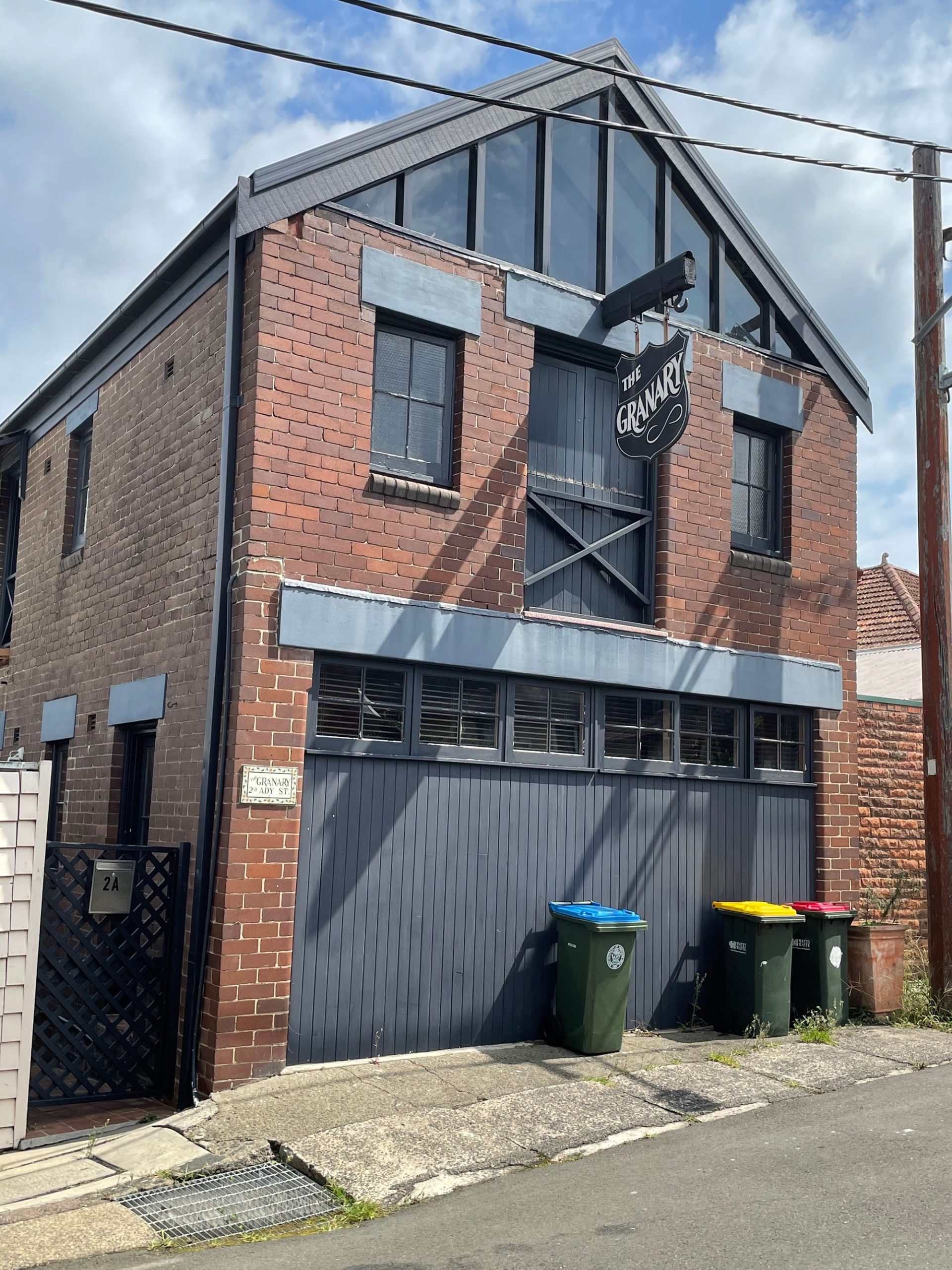
This being the civilised section, stop for a coffee at the Hunters Hill shops on Alexandra and Ady Streets.
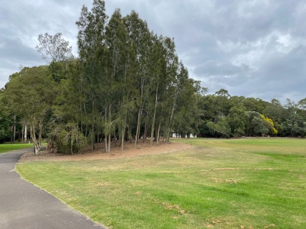
Boronia Park
After coffee, the walk continues following the streets, again going down to the foreshore near Hunter Hill high school which has its own historic explanation plaques. Cross under the Fig Tree bridge and head up to Ryde road and along to Boronia Park. This is a good stopping point to refill your water bottles, take a break and have lunch.
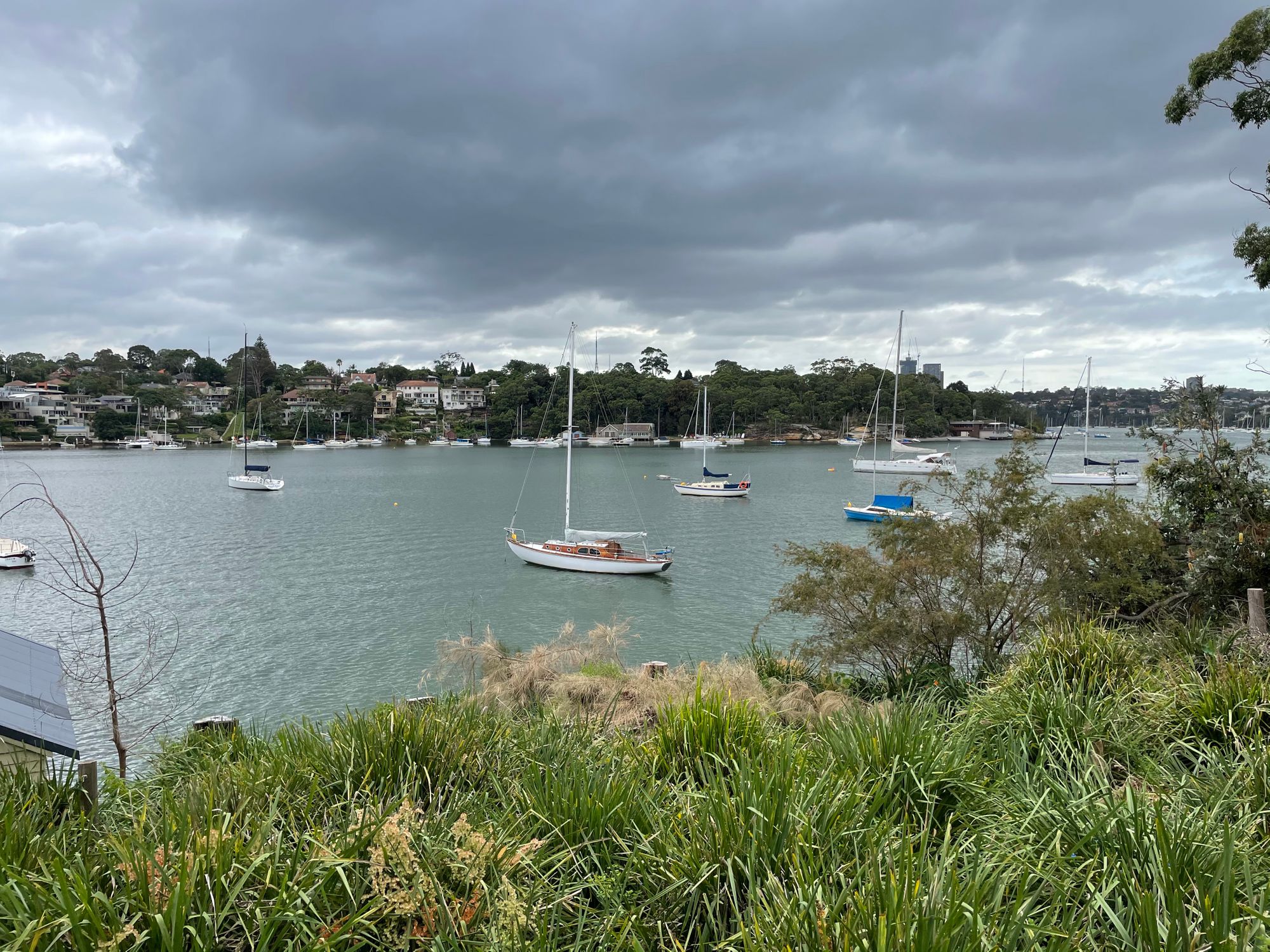
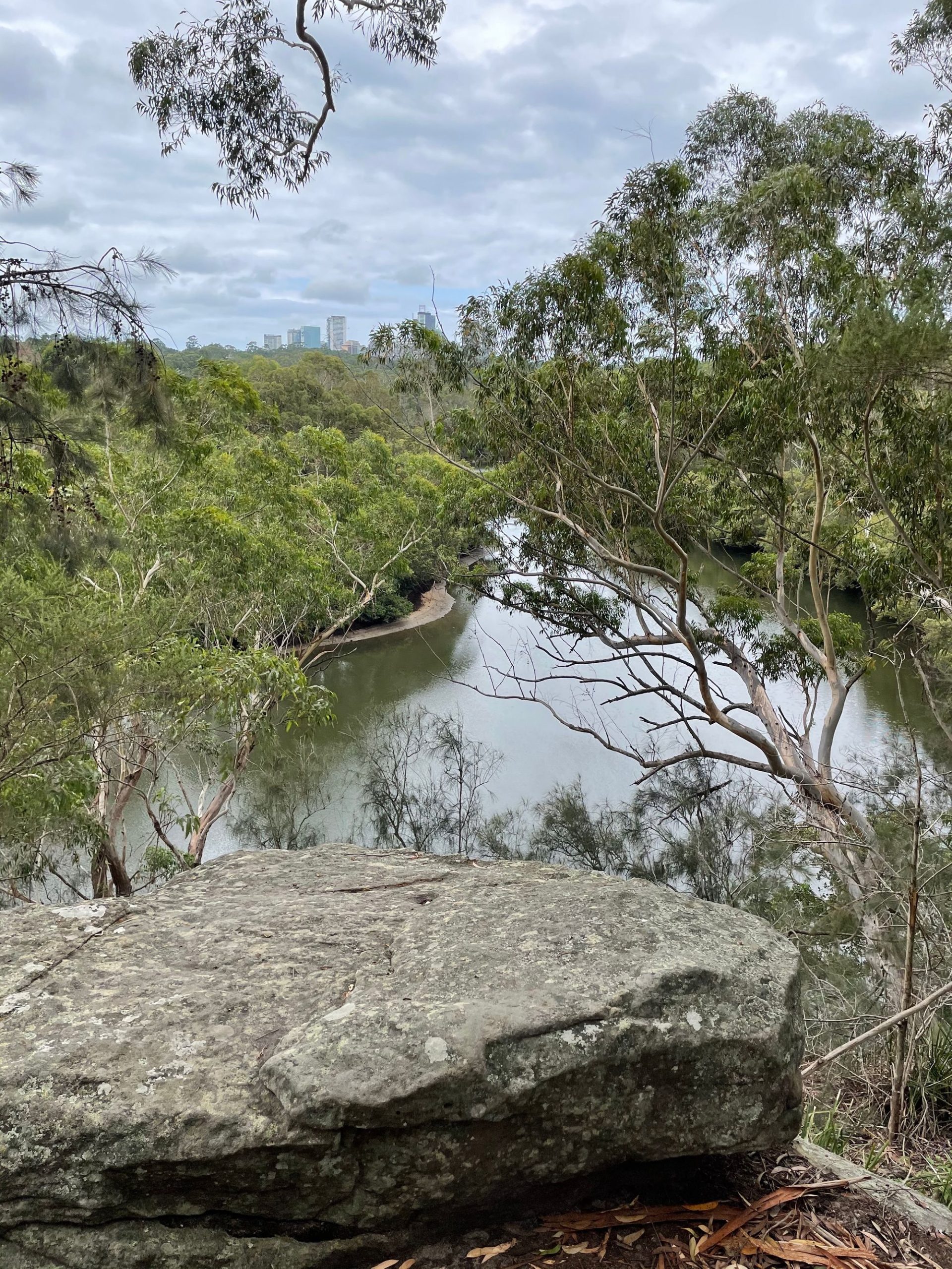
After this, the character of the walk changes as it descends into the bushland and saltmarshes of the Lane Cove river. The GNW generally follows the Lane Cove River valley into its headwaters and crosses the catchment divide at Thornleigh as it heads down into Berowra creek which drains northeast to the Hawksbury River. Thats for later though.
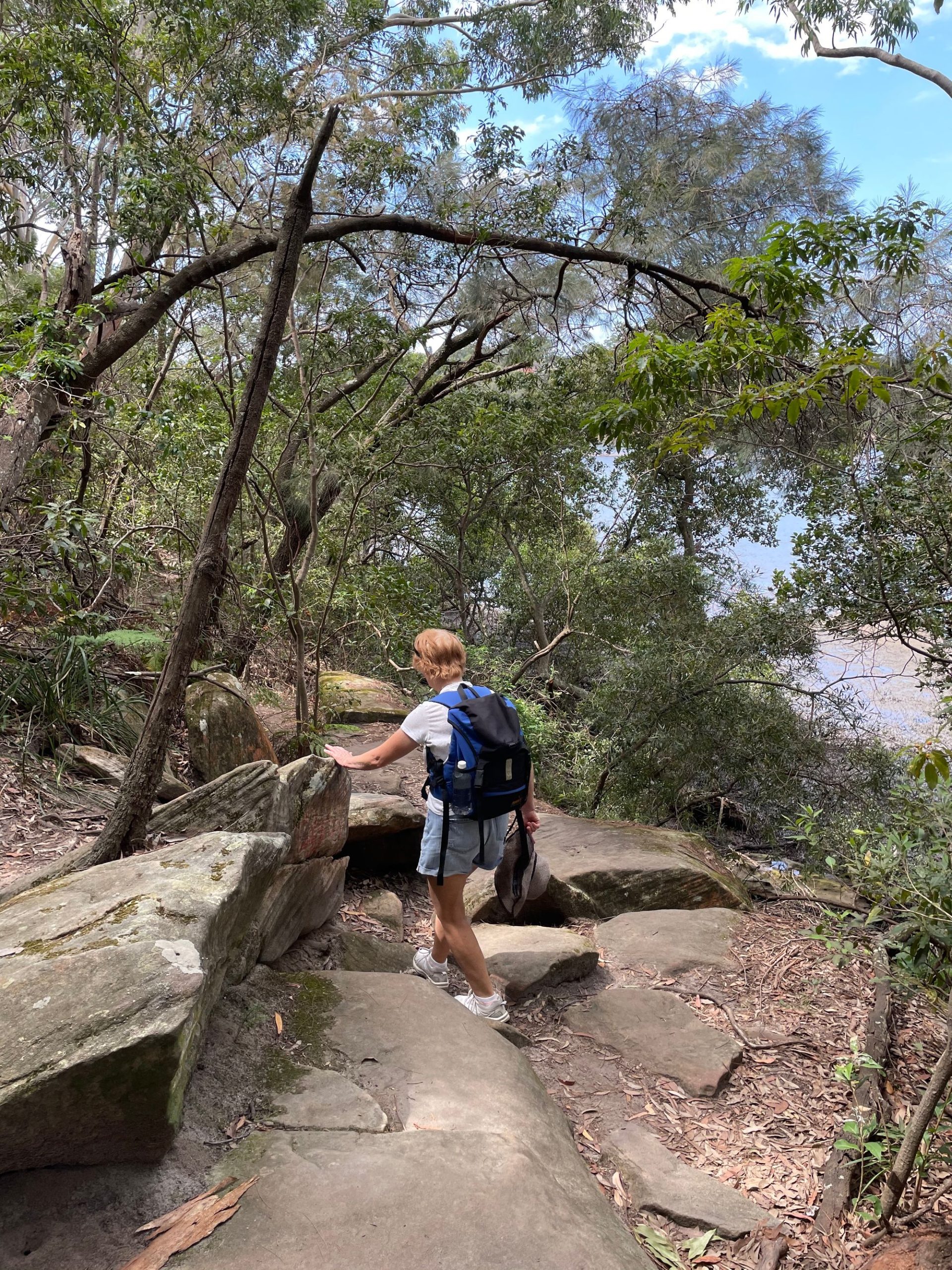
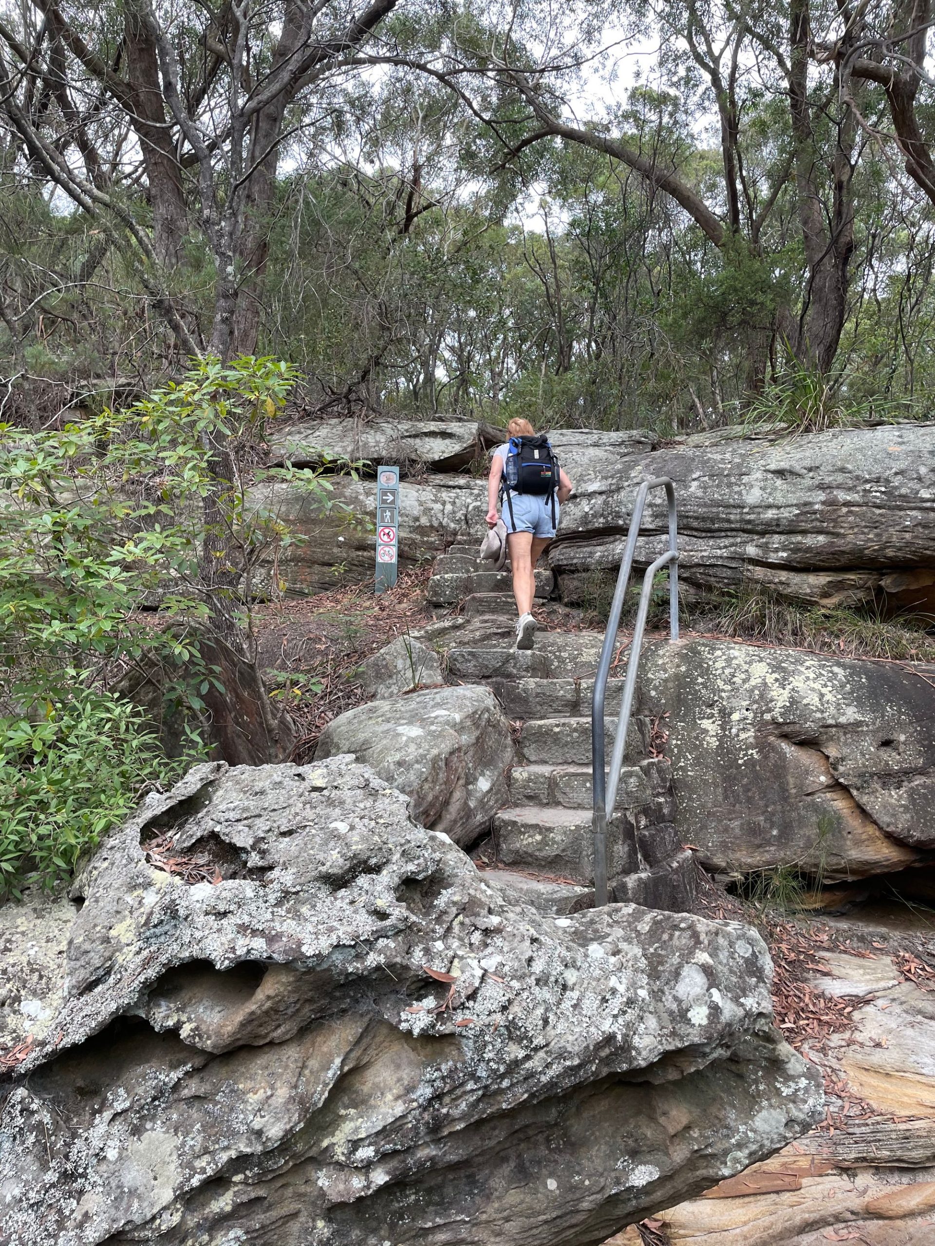
Lane Cove River bushwalk
Down Boronia Ave and you begin the bushwalk section, first stop the Princes St trackhead.
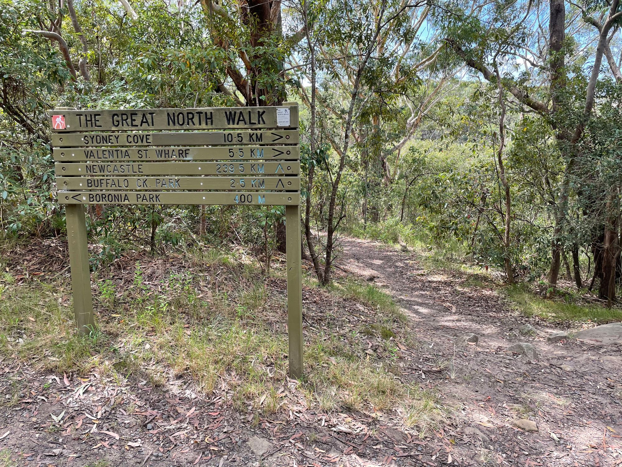
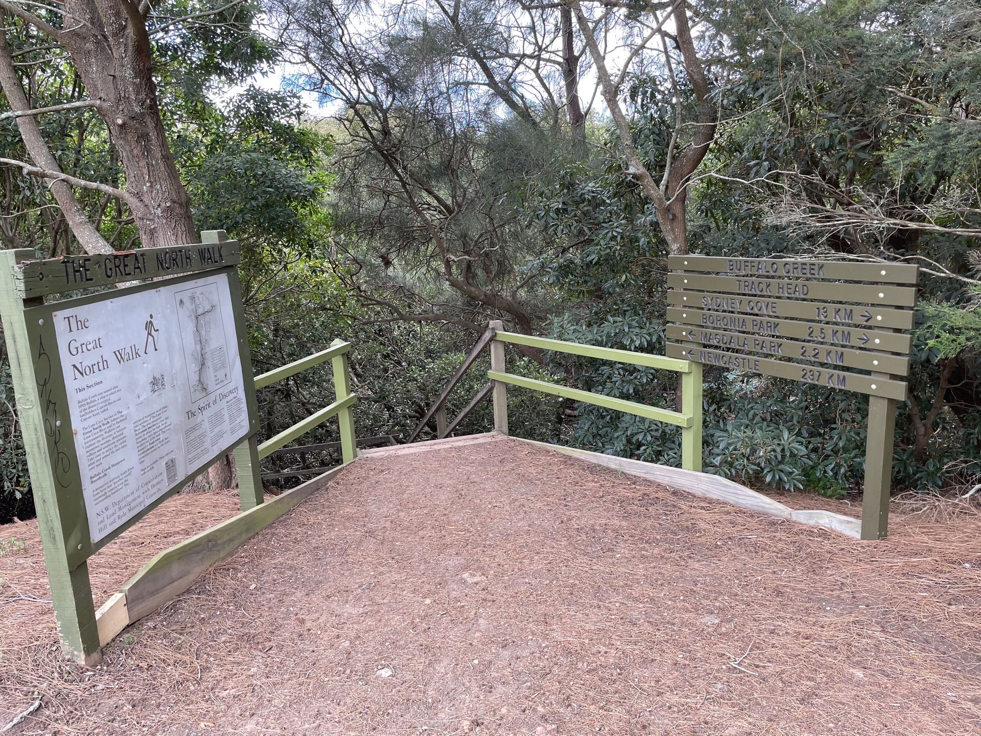
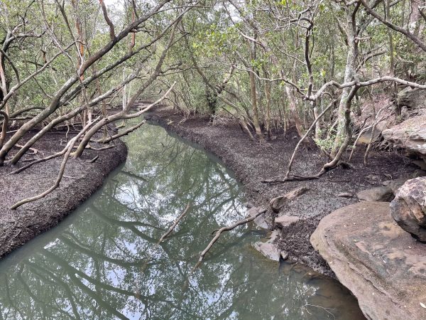
To Buffalo Creek
Wander along the well made riverside track, past a mangrove viewing spot and come to Buffalo Creek reserve. Buffalo Creek reserve is a popular spot, with easy road access, a playground and kids bike path.
Head right and stay to the right of the sealed track and look for the Buffalo Creek trailhead for the next section.
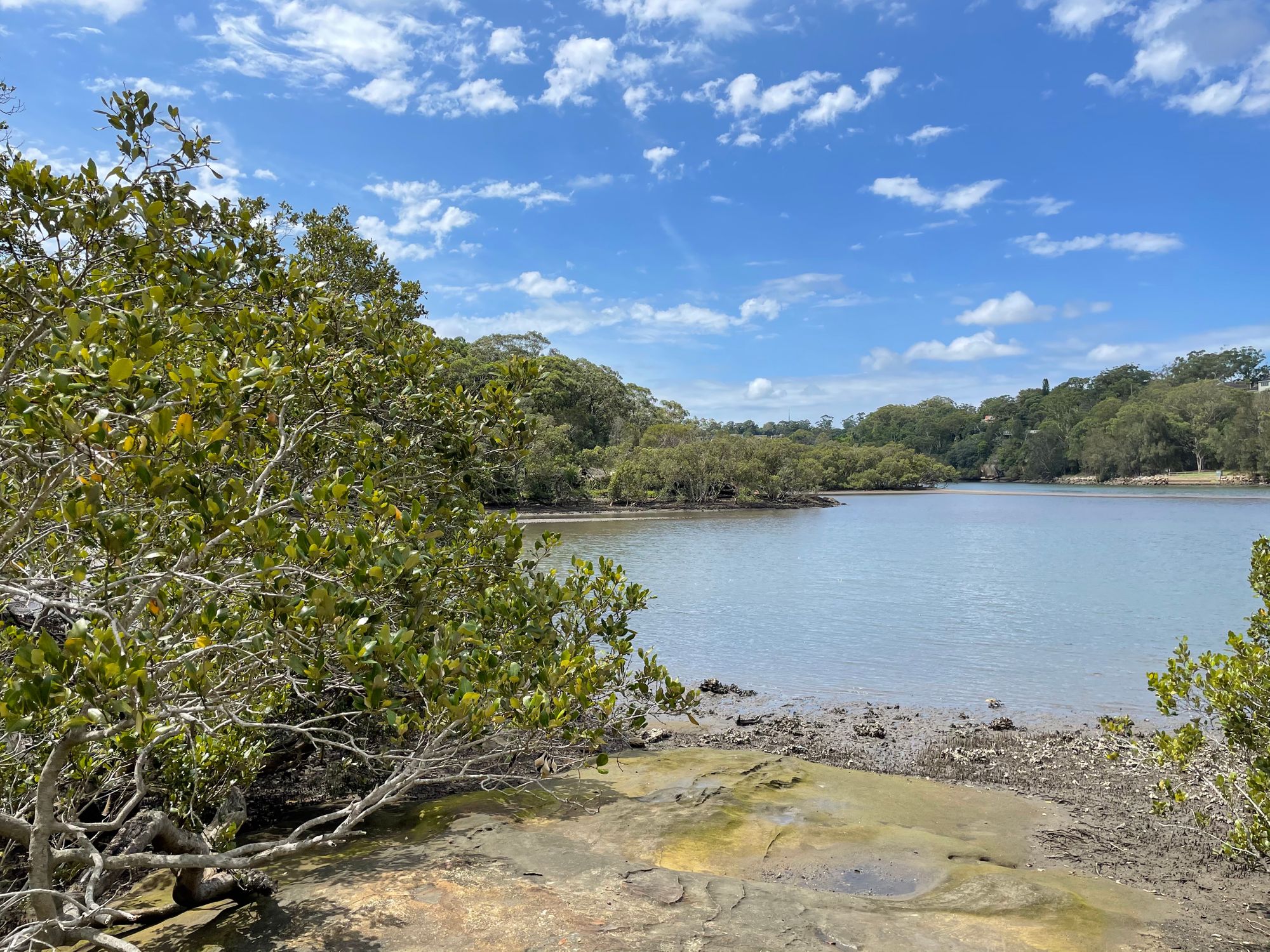
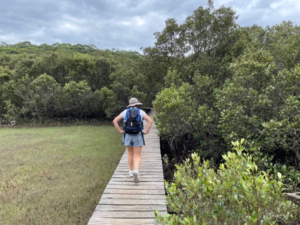
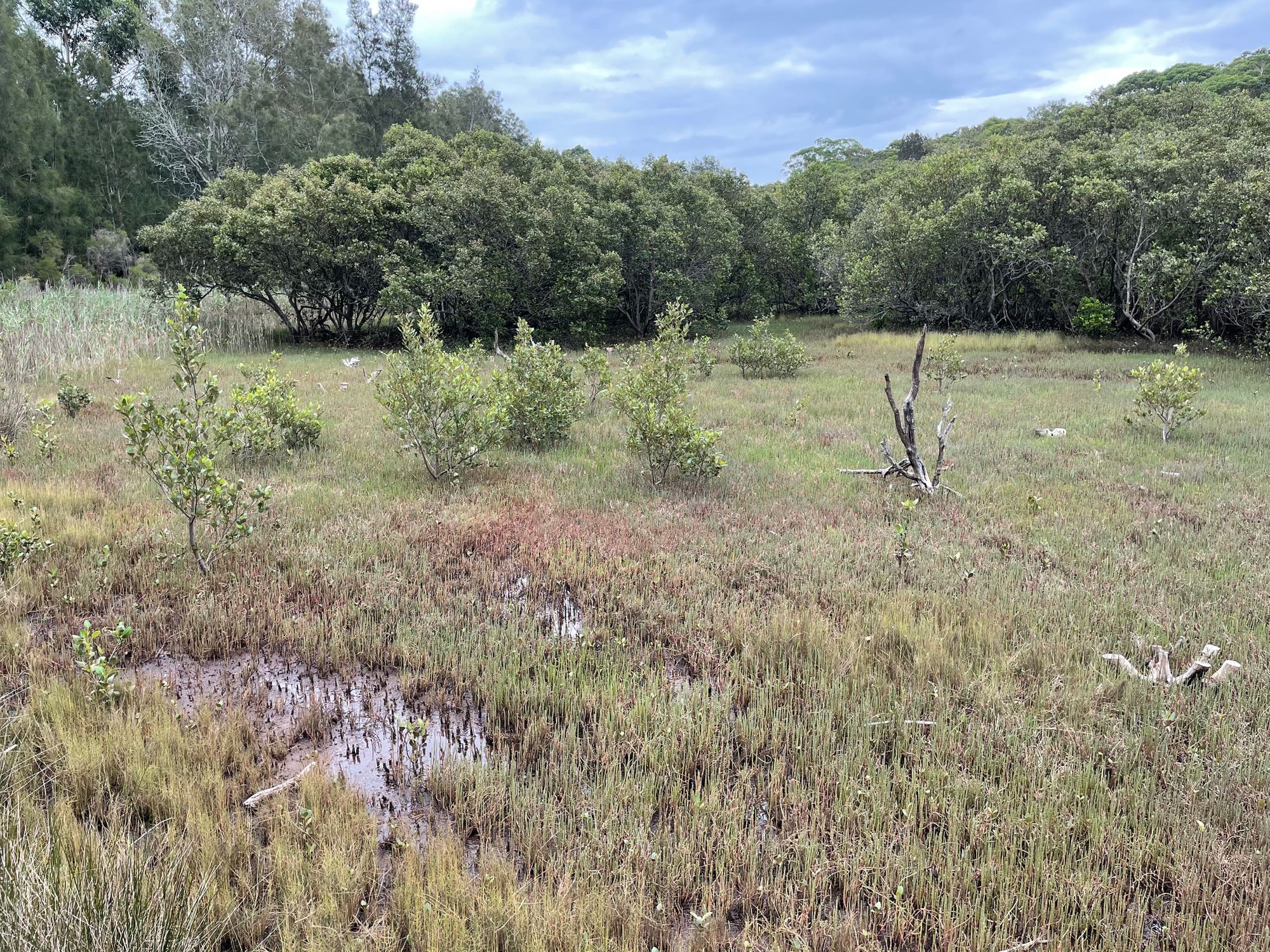
Mangroves and track to Magdala Park.
Boardwalks take you across the mangroves.
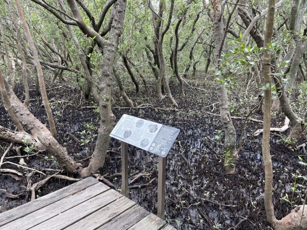
This section crosses some National Park. Follow along on the way to Sugarloaf point and cross some more boardwalks over saltmarsh. The track follows along beside Pittwater Road and leads to Magdala park. Go straigh on beside the playing fileds to the road and facilities block.
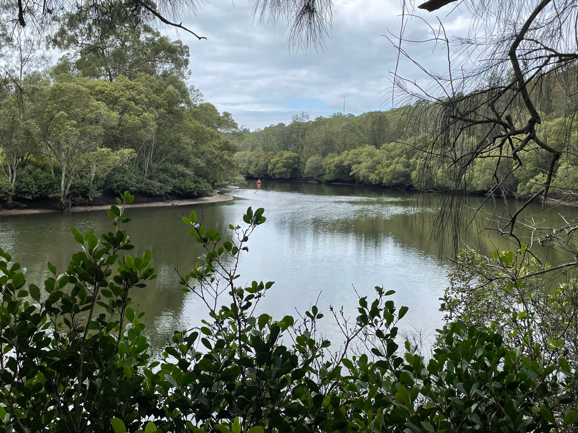
River Crossing
The Lane Cover River is still broad here. After Magdala Park the trail crosses the river on a long footbridge which brings you out onto Epping Road (a major access road for Sydney) near the road bridge. Cross (carefully) Epping Road at the pedestrian crossings.

Diversion
For us, this is where we part ways with GNW track notes for a bit and head towards home a few kilometers away by following the true left bank of the river after the athletics ground. We follow the riverside track up to Chatswood Golf Course and to the Fullers Road road bridge, then a few more bush tracks into the suburban streets near home.
For us thats it for Part 1. About 17kms walking from The Valentia St wharf with a few more getting to the start and the enjoyable ferry ride. All in all, the different activities and varied scenery made for a good day out.