Gingra Range, Ti Willa Plateau, Gangarang Range
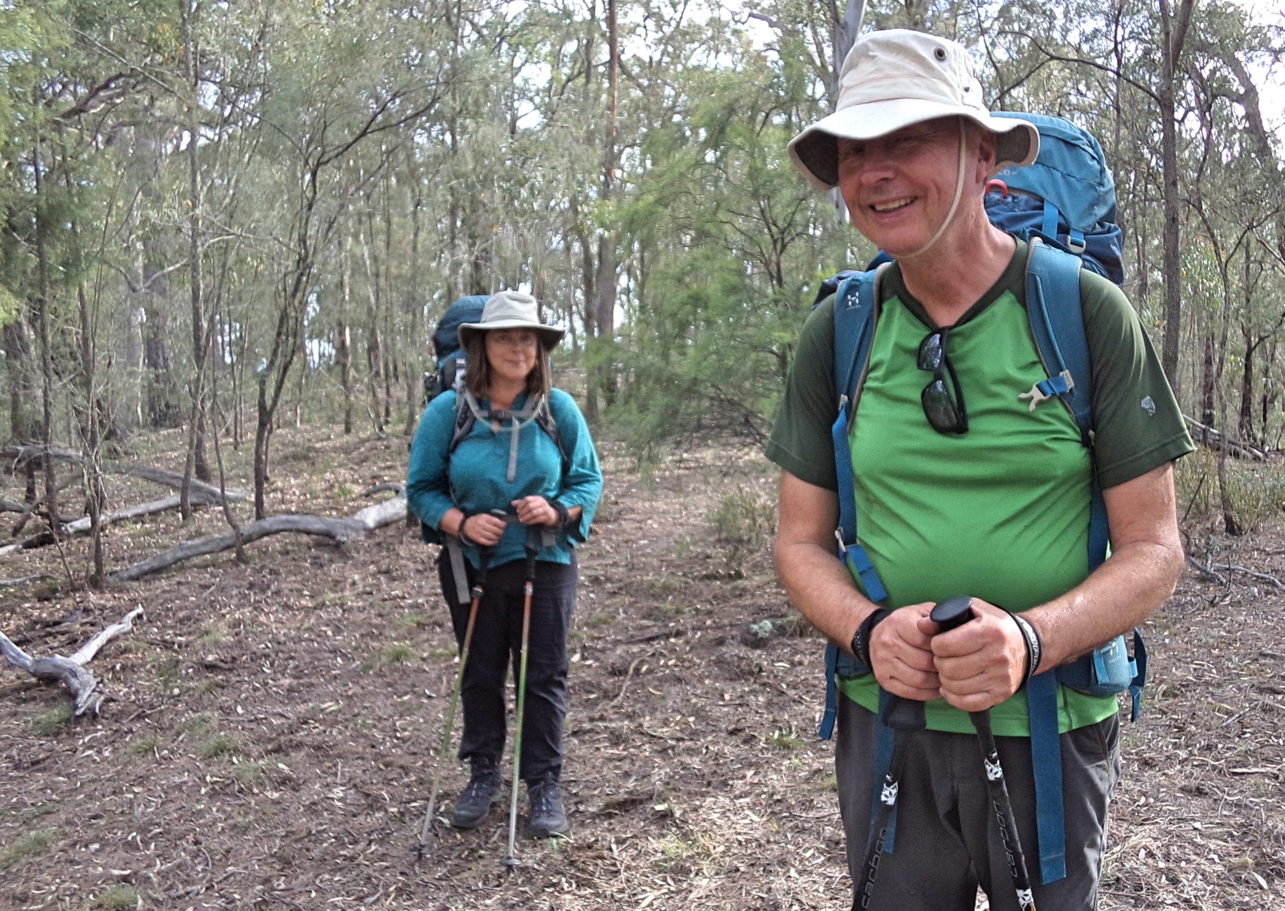
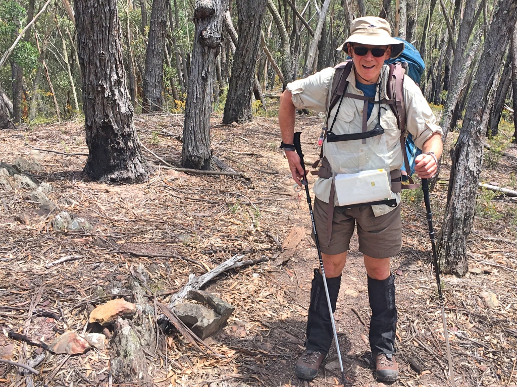
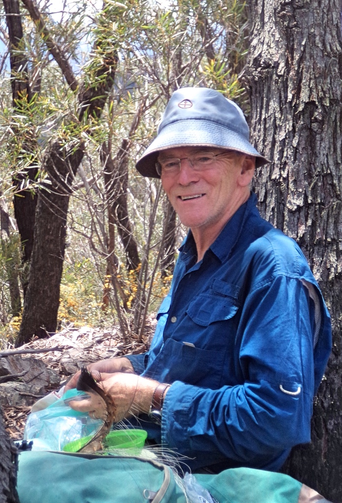
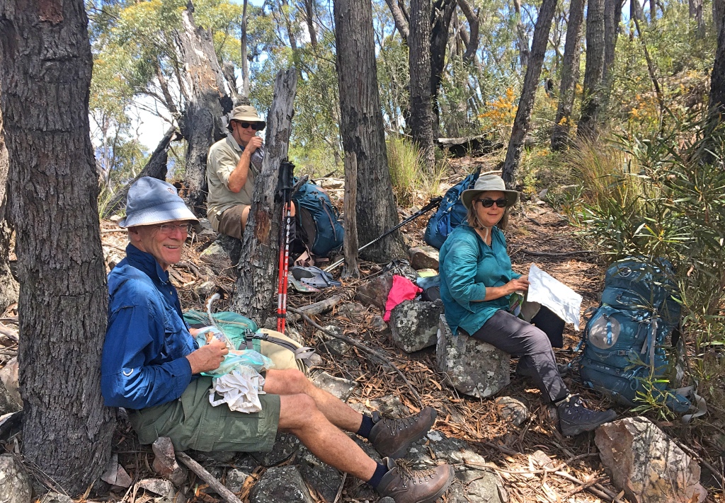
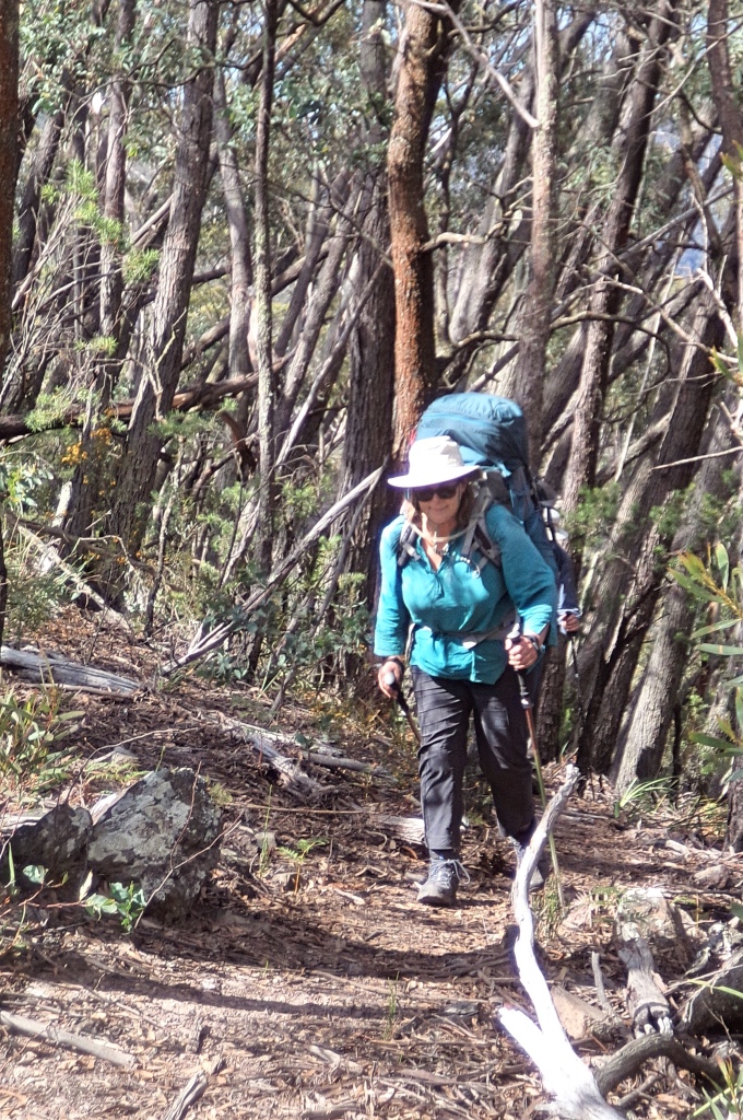
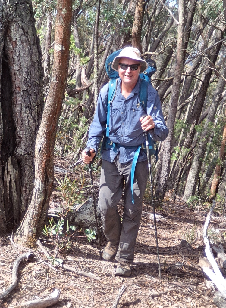
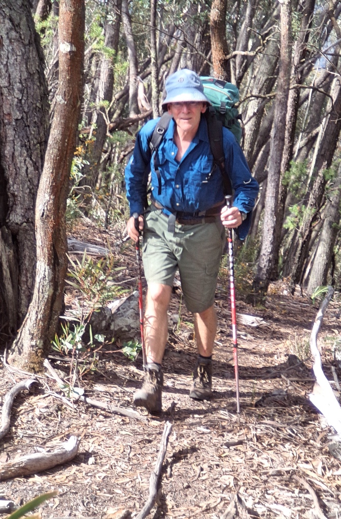
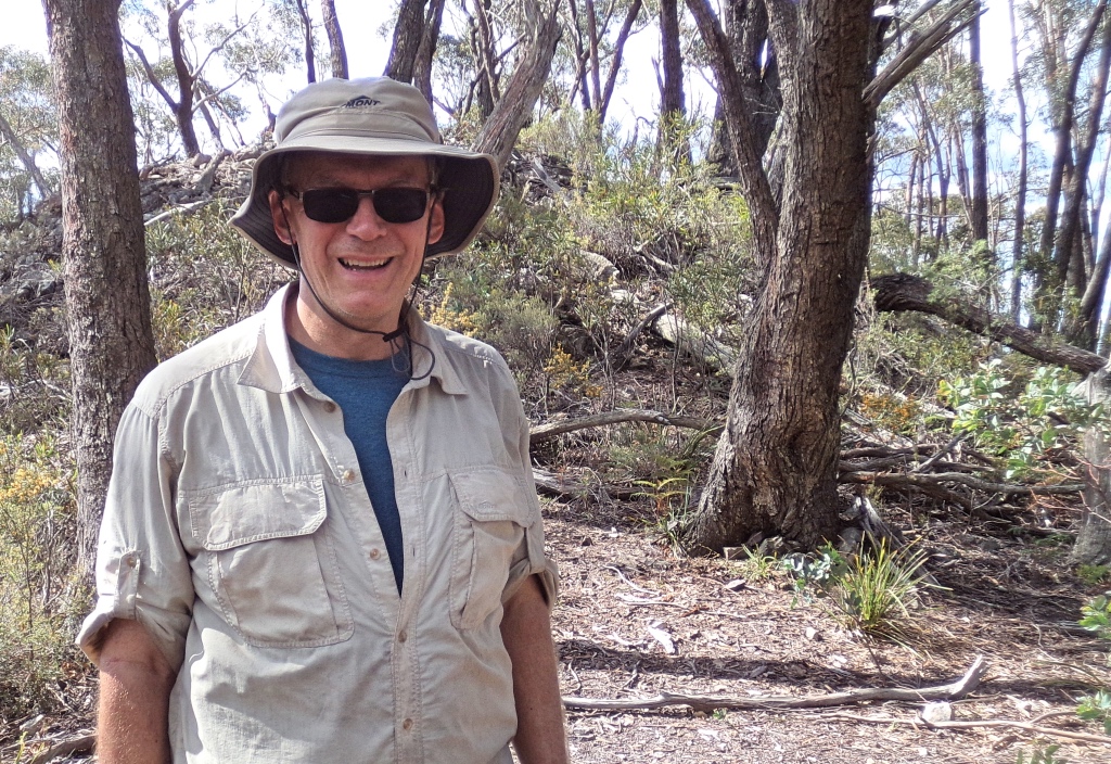
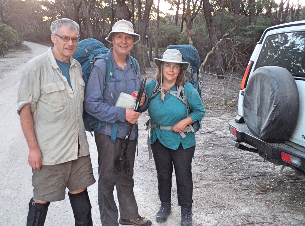
3 Days – 9,10,11 November 2018 – Geoff, David, Ruth, and Brian
Bushwalk near Kanangra Walls in the Blue Mountains.
Boyd Camp
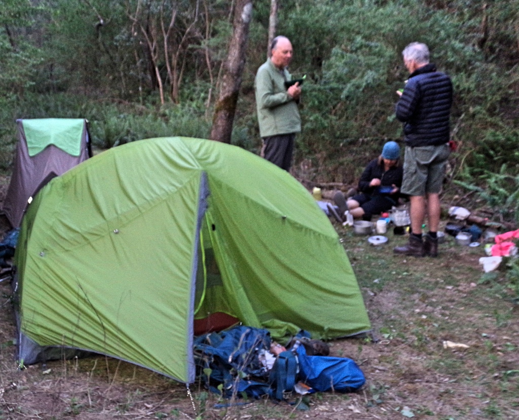
A Thursday evening drive took us to Boyd River campground, just after dark. Quite cool, so we quickly set up tents, and scoffed chicken curry for dinner. Yum.
The cold night was interrupted by some calls and answering howls from marauding dingoes, an eerie dark hours reverie and again just before dawn. Saw no trace in the morning, but they must have been prowling quite close.
Gingra Range
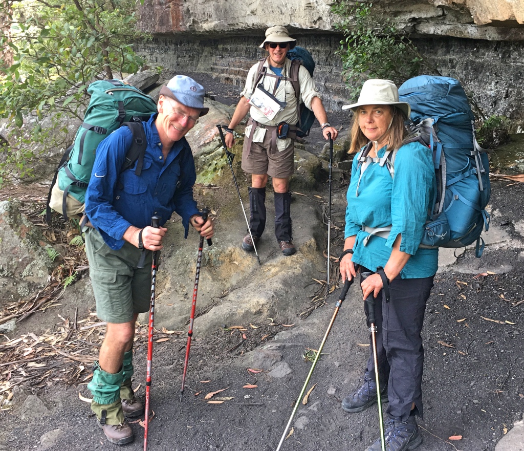
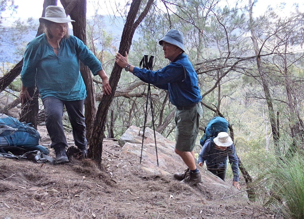
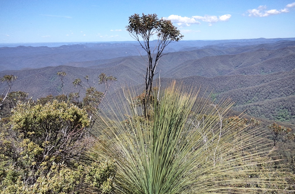
Breakfasted, packed up the car and drove the last few kilometers to Kanangra walls carpark. Boots on, swing the packs on and we’re away. First stop, Kanangra lookout as 2 in our party had not been to the walls before. Took a few photos and looked out over the deep to the Gangerang range, our return route.
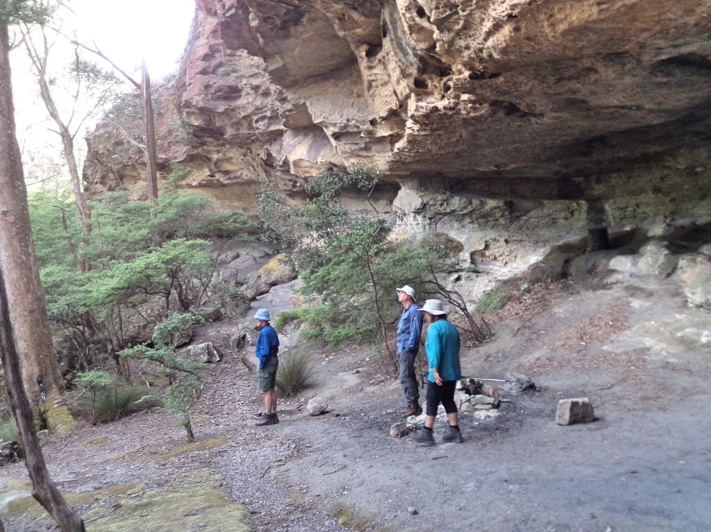
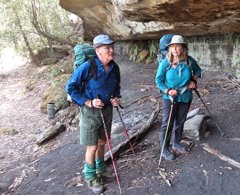
We picked up our packs, and continued on, visiting the dance floor cave before edging along the plateau track.
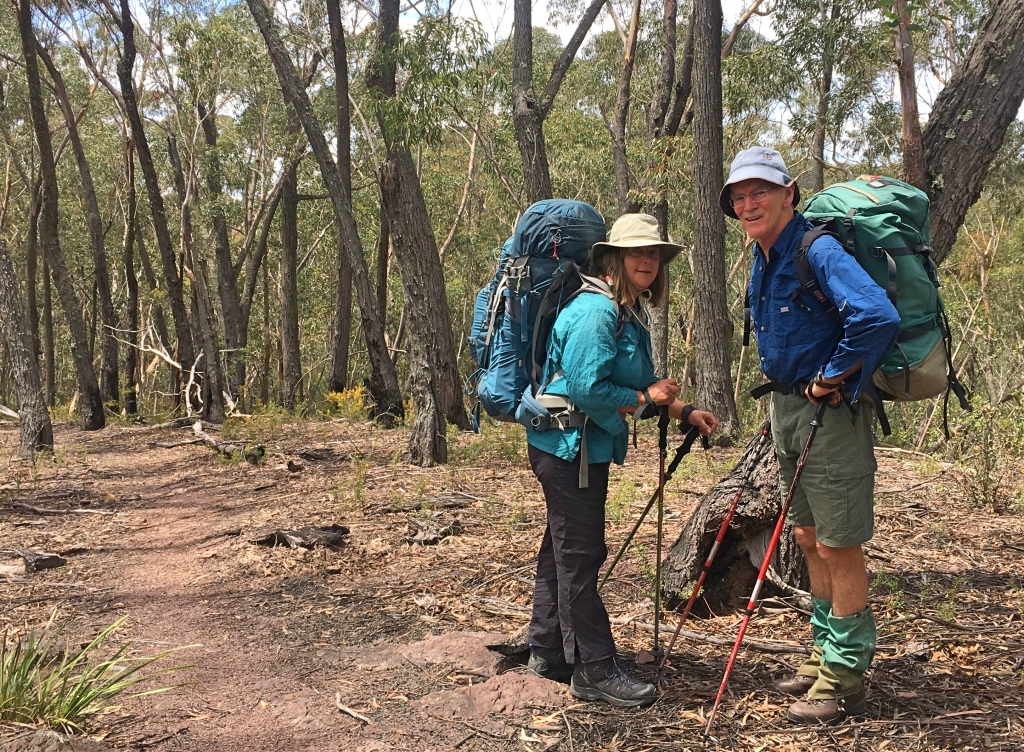
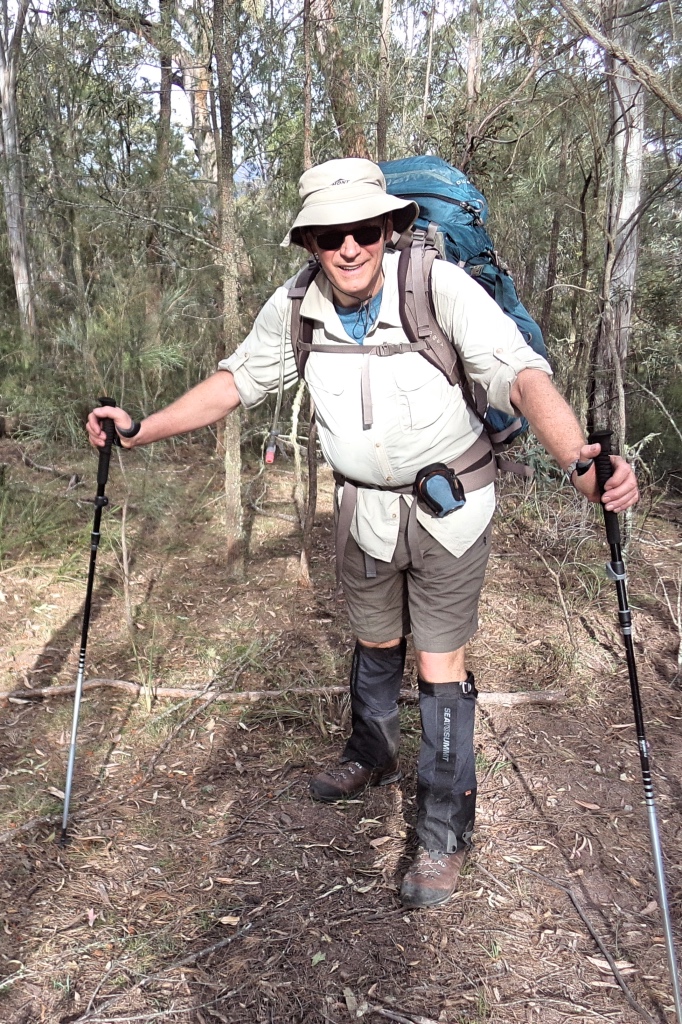
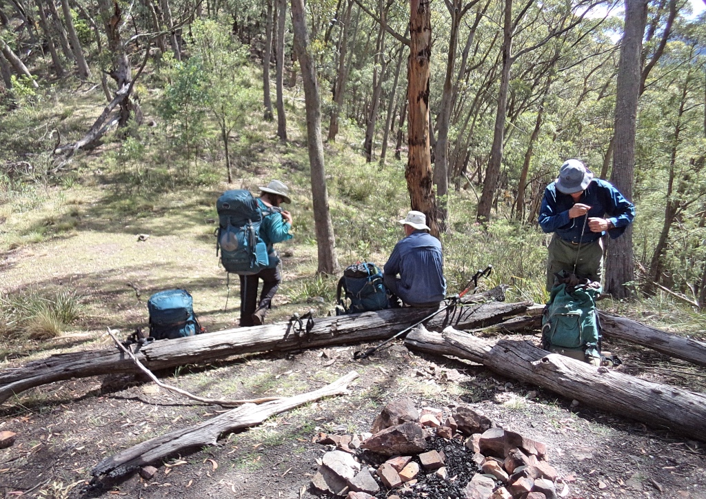
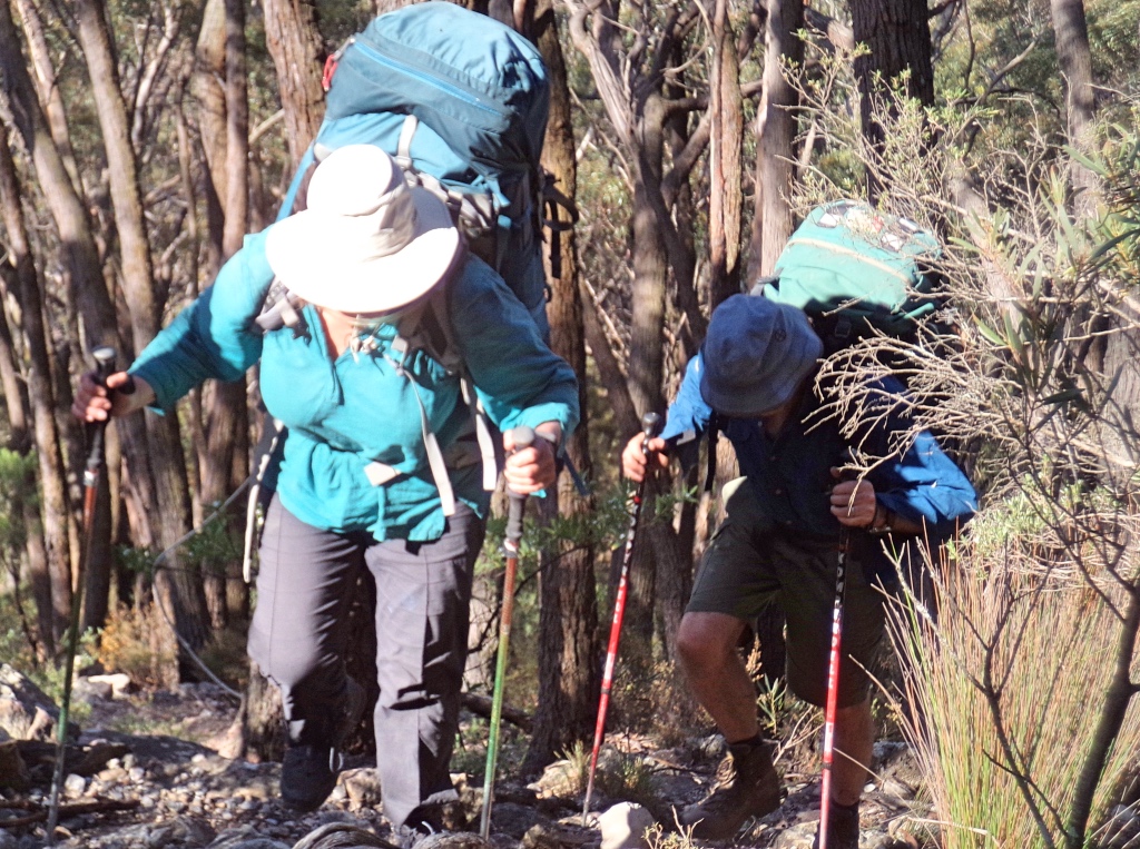
Its been a while (few decades) since we bush walked here and soon we learnt not to trust to memory for navigating. Missing the turn to Maxwell tops and Murrarang head, we ended up quite far along Brennan tops before we realised and backtracked. Once we fixed that, it was straight forward along the good track, with memories flowing back of old times. Swung down off a tree descending to the coal seam cave for a short break and map check. Then onwards, sidling past Castle rock where the track was a bit vague at times. Once on the Gingra range the track was mostly clear but sometimes was a bit vague on the uphills and tops. We paused to check the bearing to make sure we stayed on the right ridge. Didn’t want another backtrack.
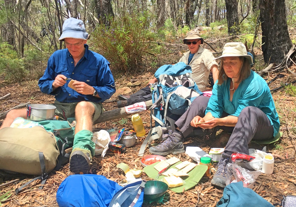
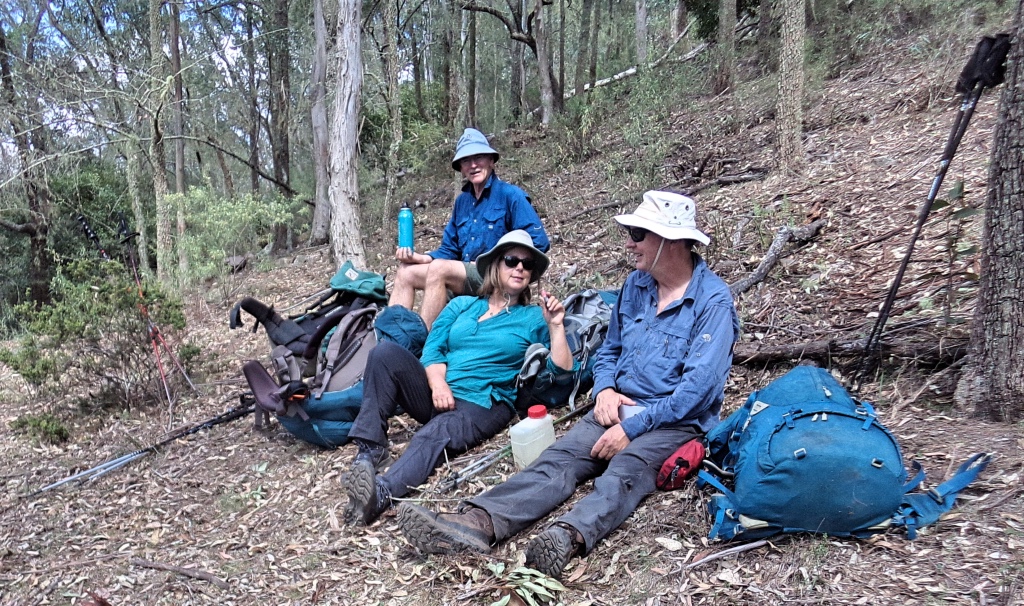
We lunched by the Brumby ridge track turn off, not as early in the day as we hoped. As we progressed down the ridge and over the next few tops, views to Cloudmaker and the western Outer Ti Willa walls peeped through the trees. The ridge was mostly light forest, with a few scrubby sections now and then. The trail is mostly clear bar a few trees fallen across it, but its plain this is still not visited that often. We bypassed a large red belly black snake, enjoying the afternoon sun. Not inclined to move out of our way at all. Beautiful deep glossy black.
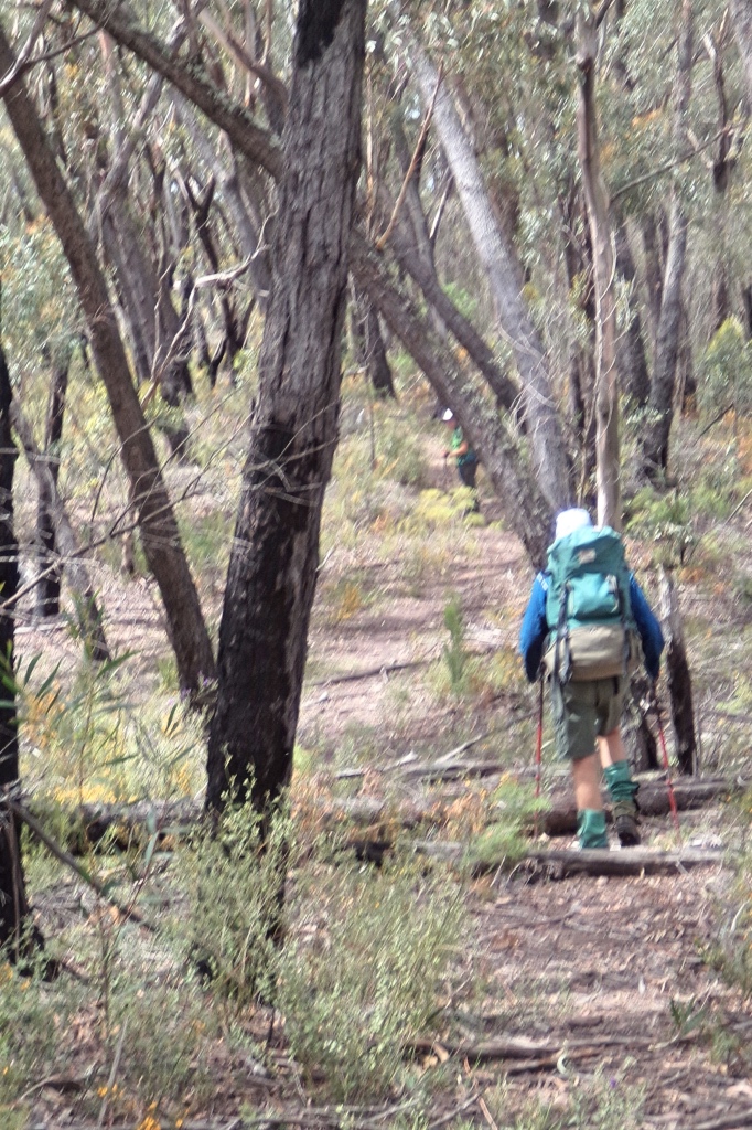
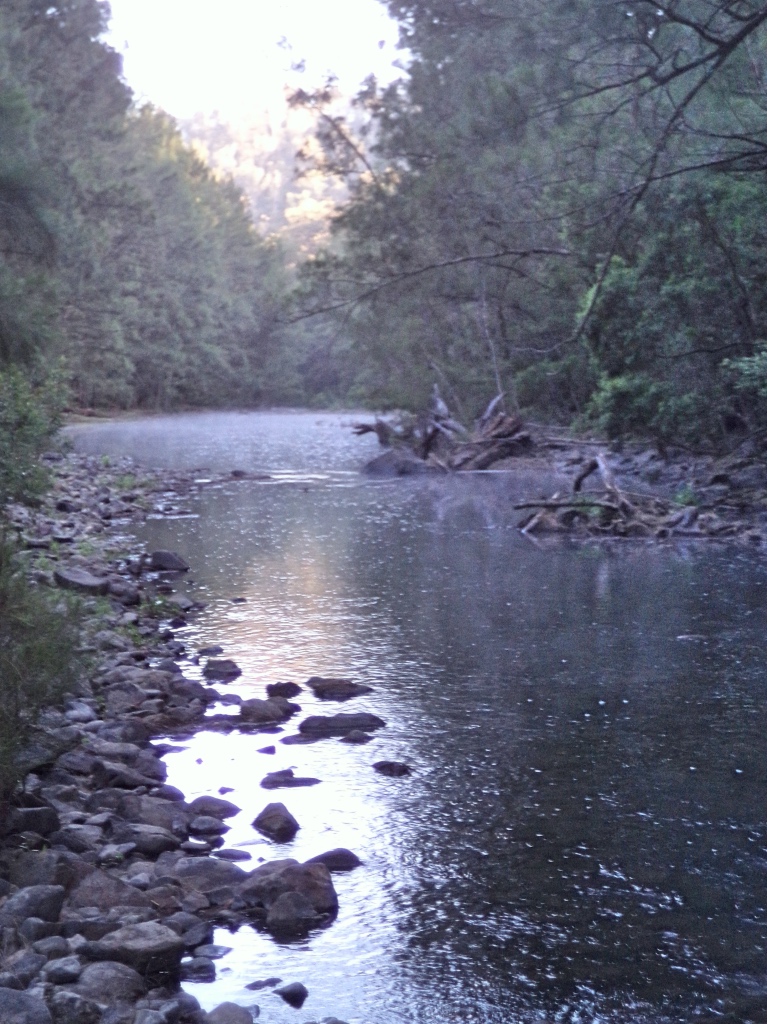
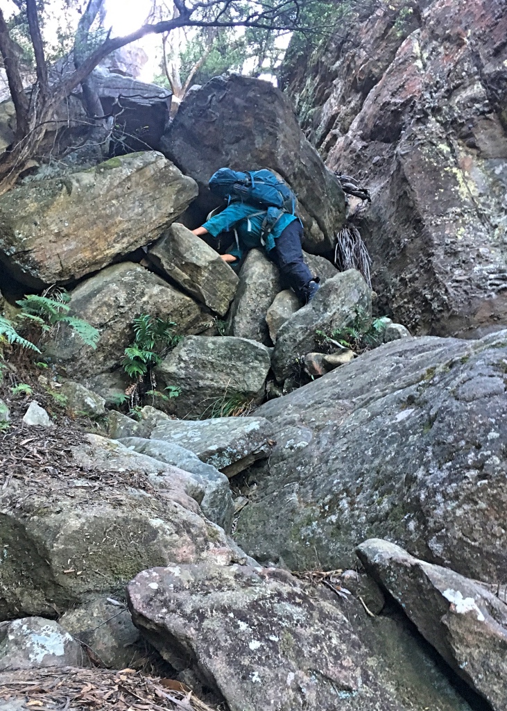
The last section of the ridge was a little steeper and scrubbier and on the final descent to the Gingra creek, Kowmung junction the trail becomes a bit dispersed and its just “go down as you can”. A bit footsore and with tired legs we reached the junction, to find Gingra creek dry and the Kowmung running quite low. A quick dip in the river to wash off. We set up camp in a small clearing at the junction in the failing light. We didn’t have the light or the legs to go downstream and revisit the grassy flats near the gauging station. Warm and enjoyable evening, down on the river. Fantastic to be here again after so long.
Ti Willa
Morning and the mist rising of the Kowmung. Fussed about in camp for a bit, maybe putting off the long climb.
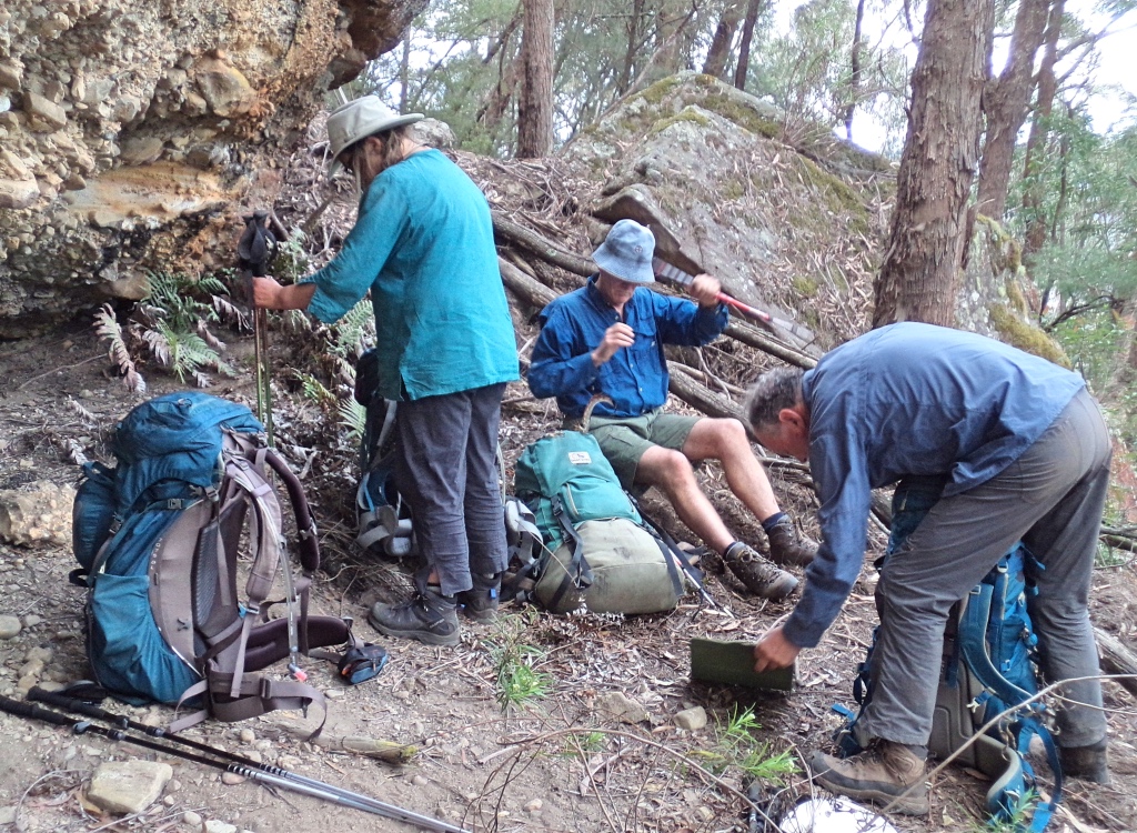
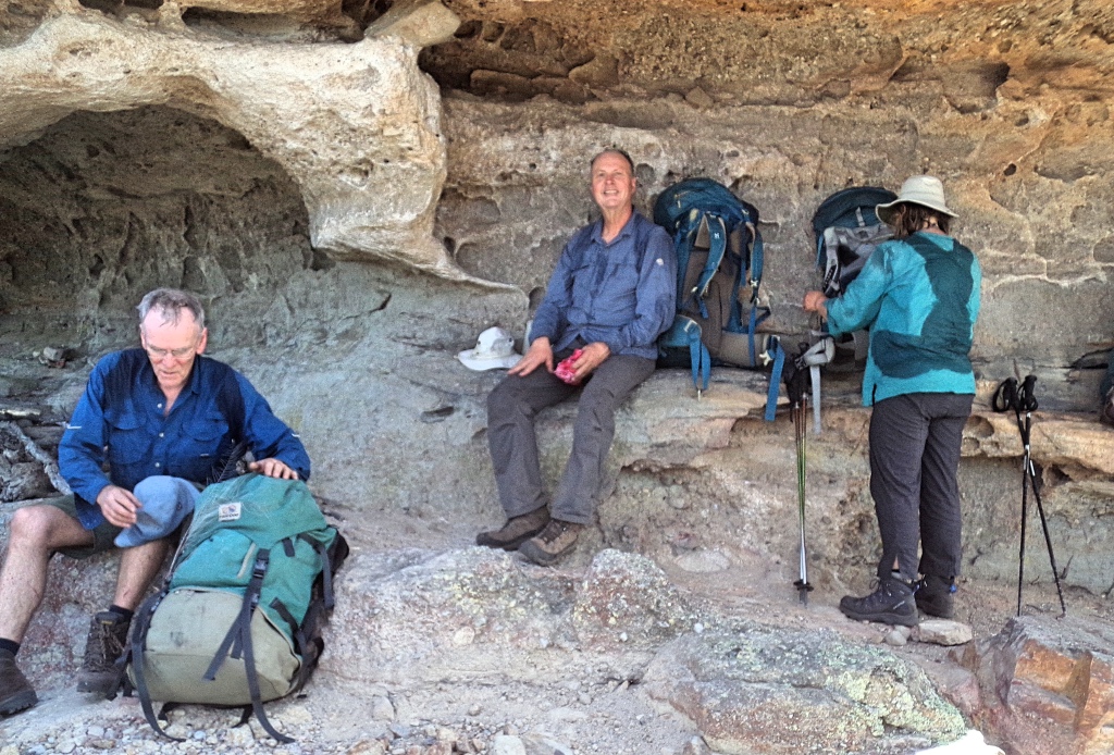
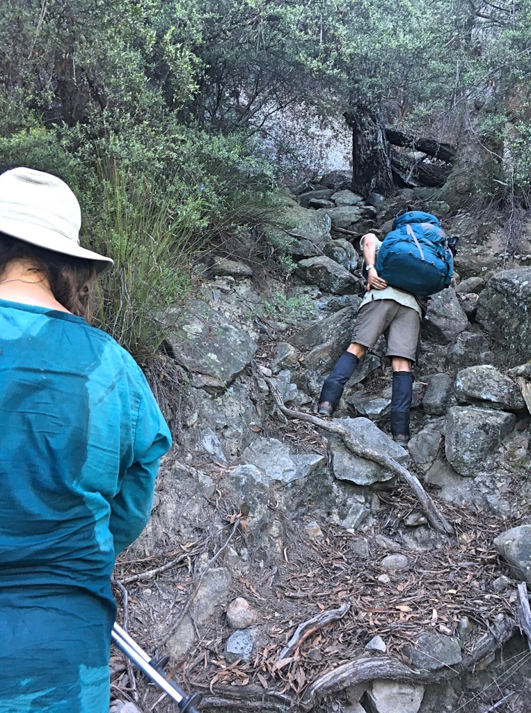
Pushed along, on the right bank (going upstream) of the Gingra creek, trying to make sure we got the right ridge. Past a part of some old yards, and got a little tangled in the weeds. Its easier going in the creek for the few 100 meters to the start of Ti Willa buttress. For us oldies this was a long and tiring uphill, zig zagging against the slope. Some sections are steep, even if lightly forested and we rested probably every 100 m vertical or so. The last section up to the cliff line is scrubby and very steep and quite exhausting. There is a good cave west of the pass. We had lunch in a smaller one, just near the bottom of the pass. The lunch stop let us recover from the climb a bit, before ascending Compagnoni pass.
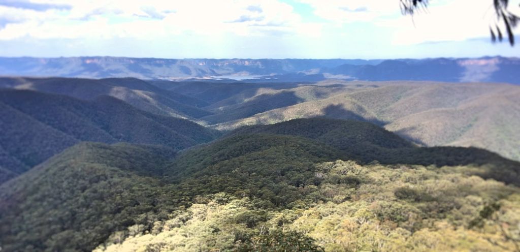
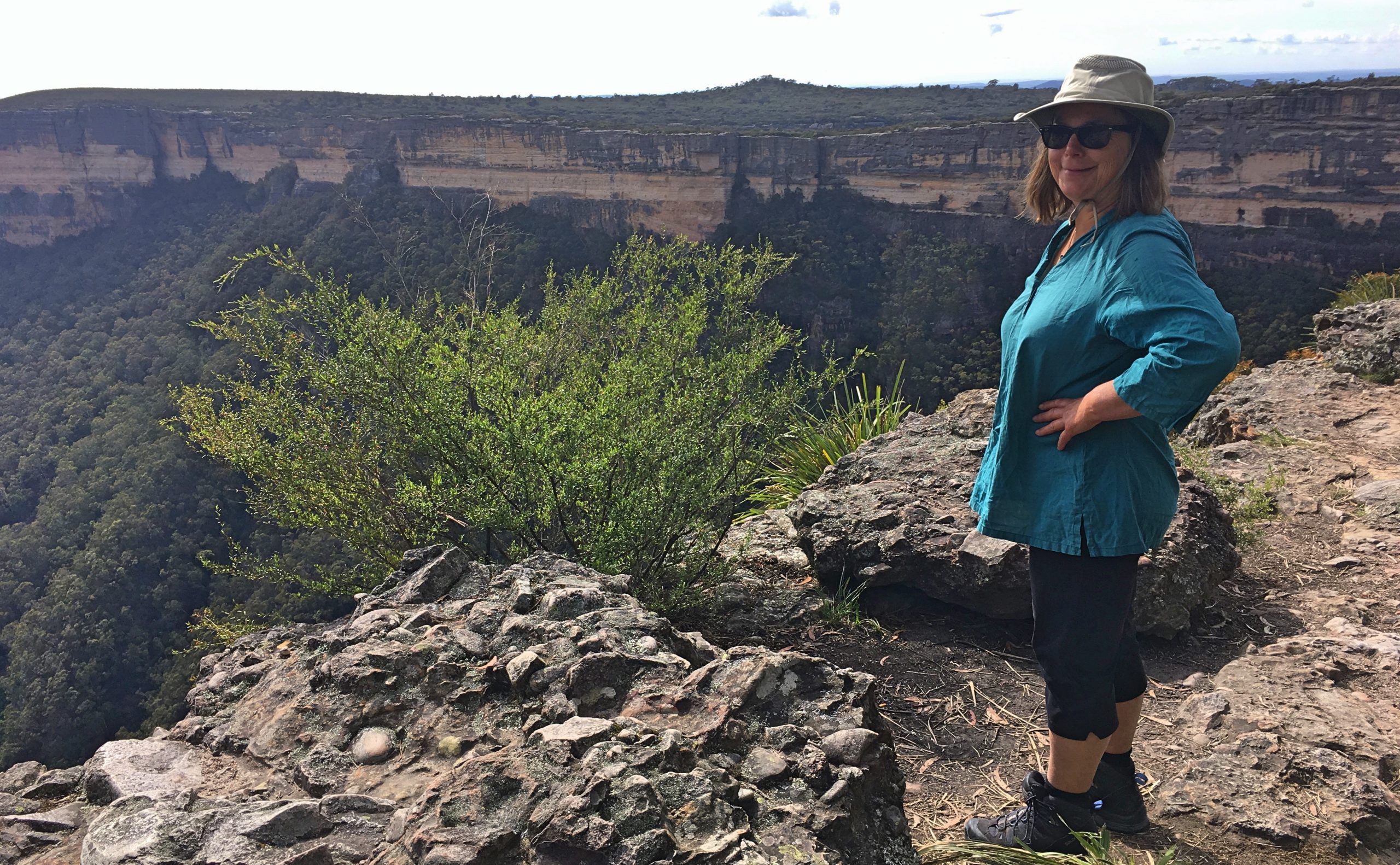
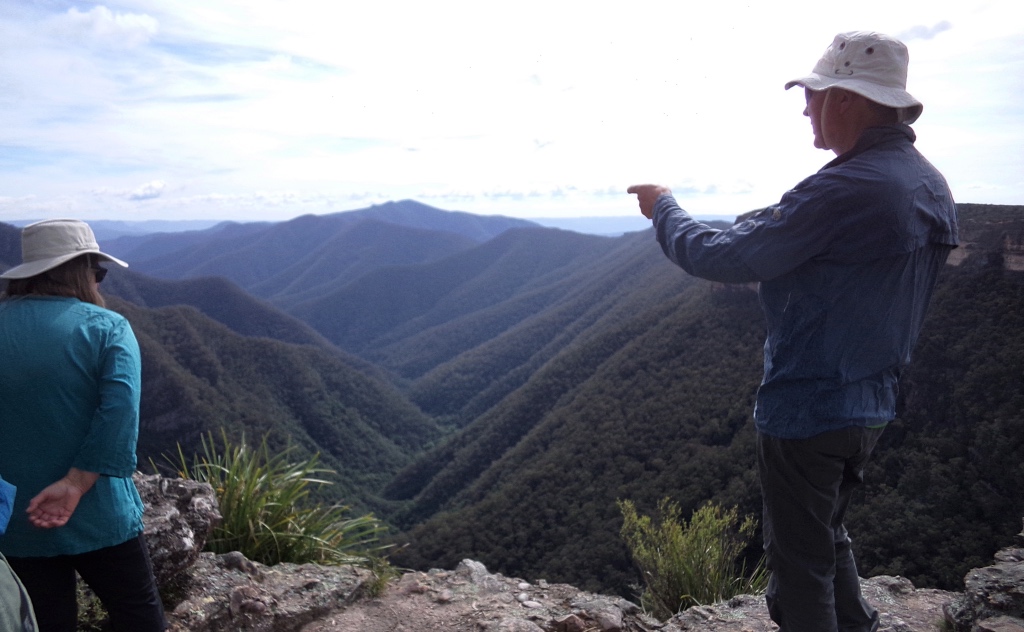
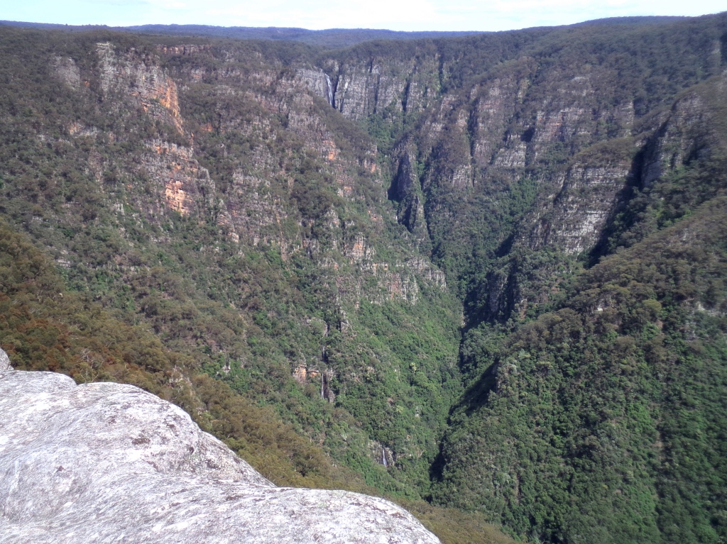
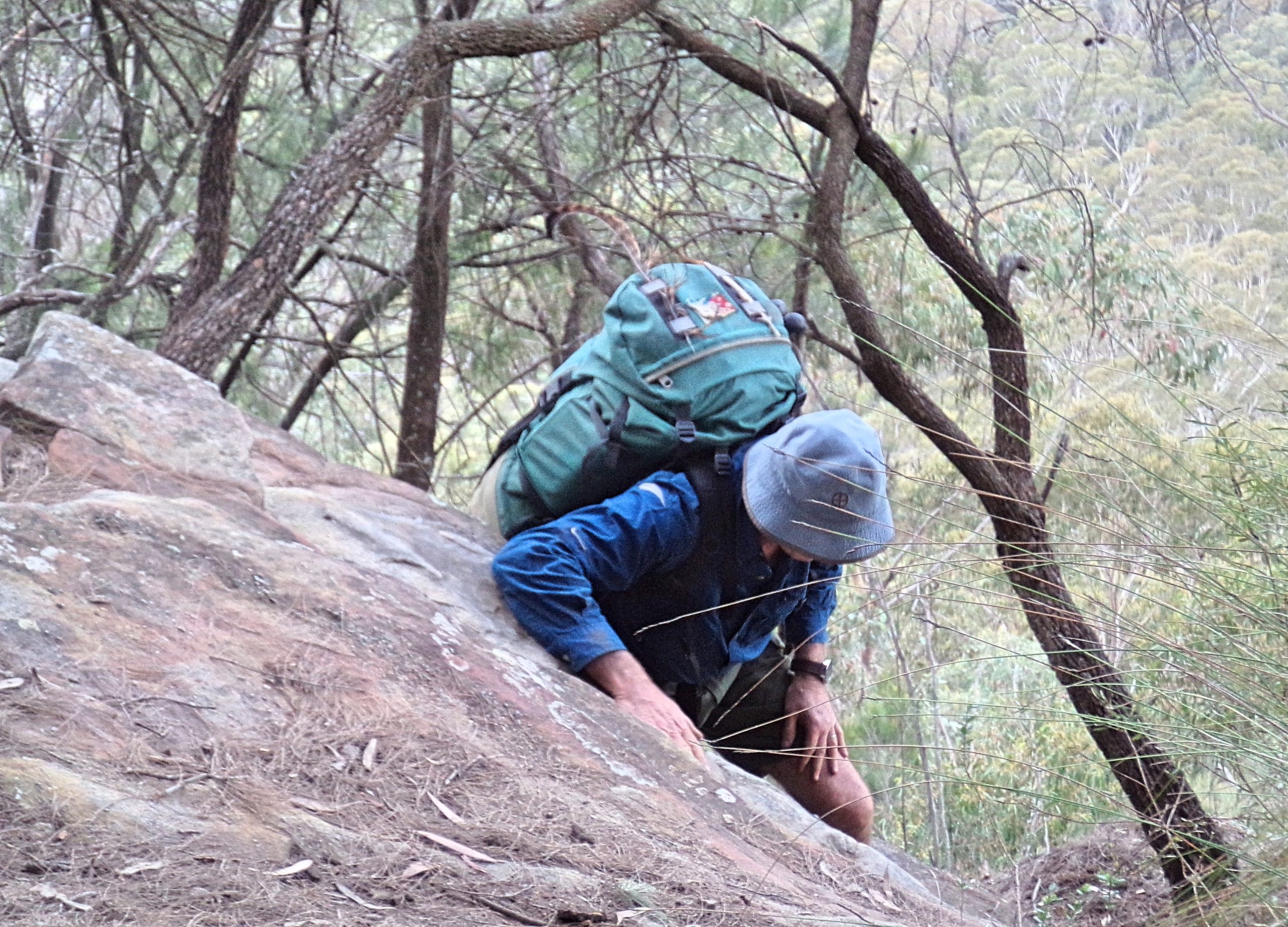
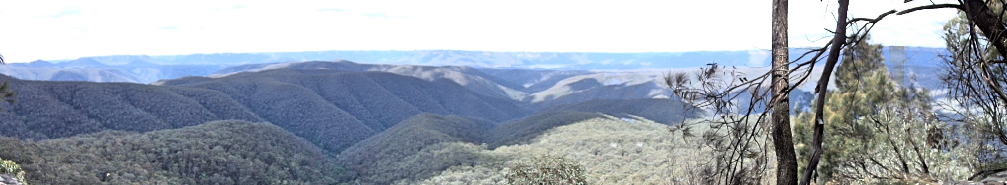
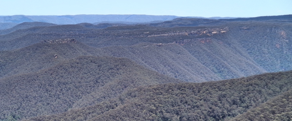
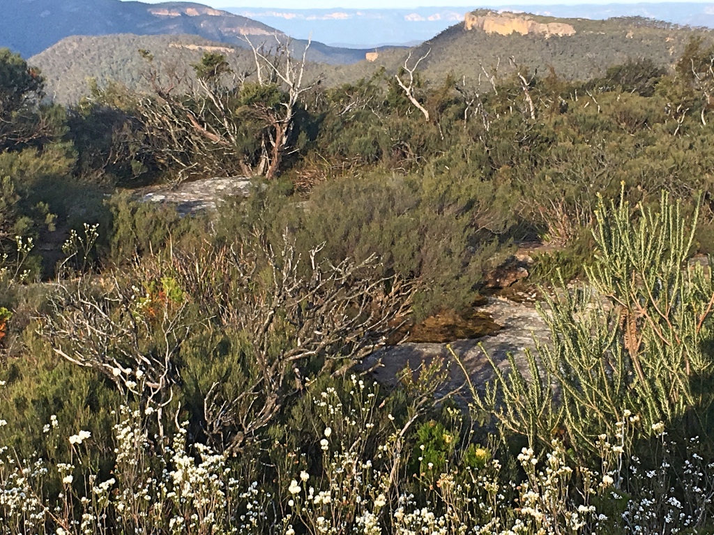
The pass saw us back on old territory, because David and I had descended it over 40 years before, following Stockyard spur down. So now we climbed up, spikes, chains and all, being very careful on the slippery casuarina needles that accumulate in the rock crevices here. The reward is the view. The panorama spans the Blue Mountains. From west of Mt Solitary, around over Kings Tabeland, the dam is visible, over the Blue breaks, to Byrnes gap, Mt Colong, Yerranderie peak and in the distance the Gib near Mittagong. The blue haze and the yellow clifflines, so much, the wild Blue Mountains.
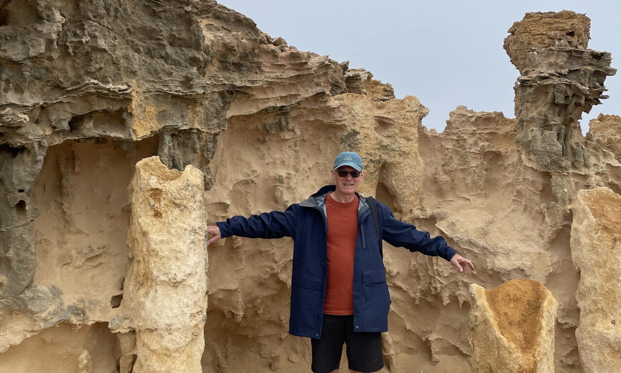
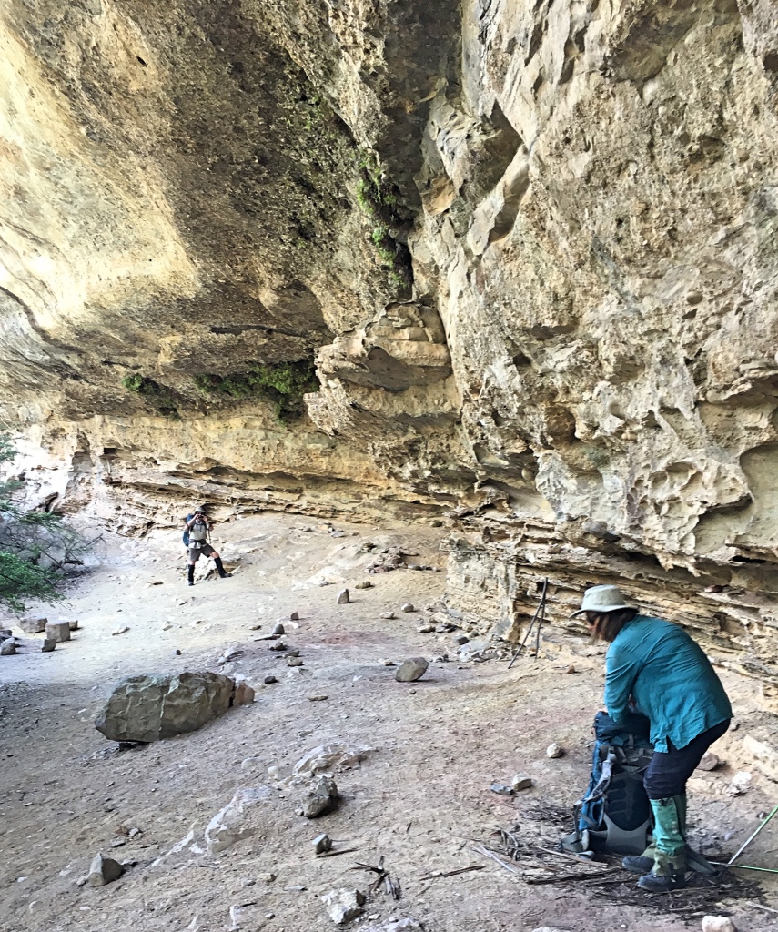
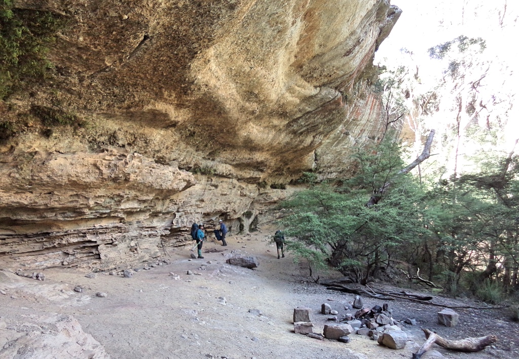
The dry weather and the low water in the Kowmung and Gingra creek prayed on our minds a little as we contemplated the afternoons destination on the inner Ti Willa cliffs. We were aiming to find 100 Man cave, but were concerned over the water supply. We pressed on over Ti Willa Hill and Ti Willa Too, following a vague track and the occasional demolished cairn, until we came out onto the tops. Here we had missed or didn’t find a track, and the route of the old Dunphy track along the inner cliff line was scrubby. At times, we cut back away from the cliff to find an easier line. As we drew near the end of the cliffs, the day was wearing on and when we found a little gully that looked like people had been down, we followed. Soon we found a small cave, that had clearly been used for camping with room for our tents. A little exploration, a few hundred meters along the cliff line found us a nice water drip coming down from the clifftop. We collected a good supply of water with a groundsheet and from a small pool behind a rock. This would seem to be a near permanent supply, fed from a gully above. Tracks in the dust at the cliff bottom, held a snake track. All up this was a very cosy campsite and plenty of water meant we could enjoy our cups of tea, rehydrating from the day.
Gangerang
There is quite a contrast between the vegetation of the Ti Willa tops and the rainforest pocket near our little cave so when morning came, it was to our little green oasis. After breakfast, we went back to the drip and collected water for the day from our groundsheet lined pool.
Heading out we followed a different route, up a slope just around a small point from our cave. Retrospectively, we were not quite where we thought we were. Up a slope and along a ridge with a view into Ti Willa creek. Then down into a gully and up to emerge below a cliffline. Following that a bit to the right and we walked into 100 Man cave. Wow, its quite the camping cave. But, there was only a very slow drip and we were again glad of last nights cave as the hike down the gully to water didn’t look appealing.
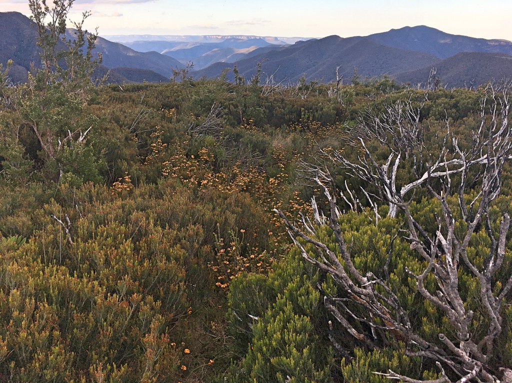
From here we picked up the track again and soon were climbing the slopes to the summit of Mt Cloudmaker.
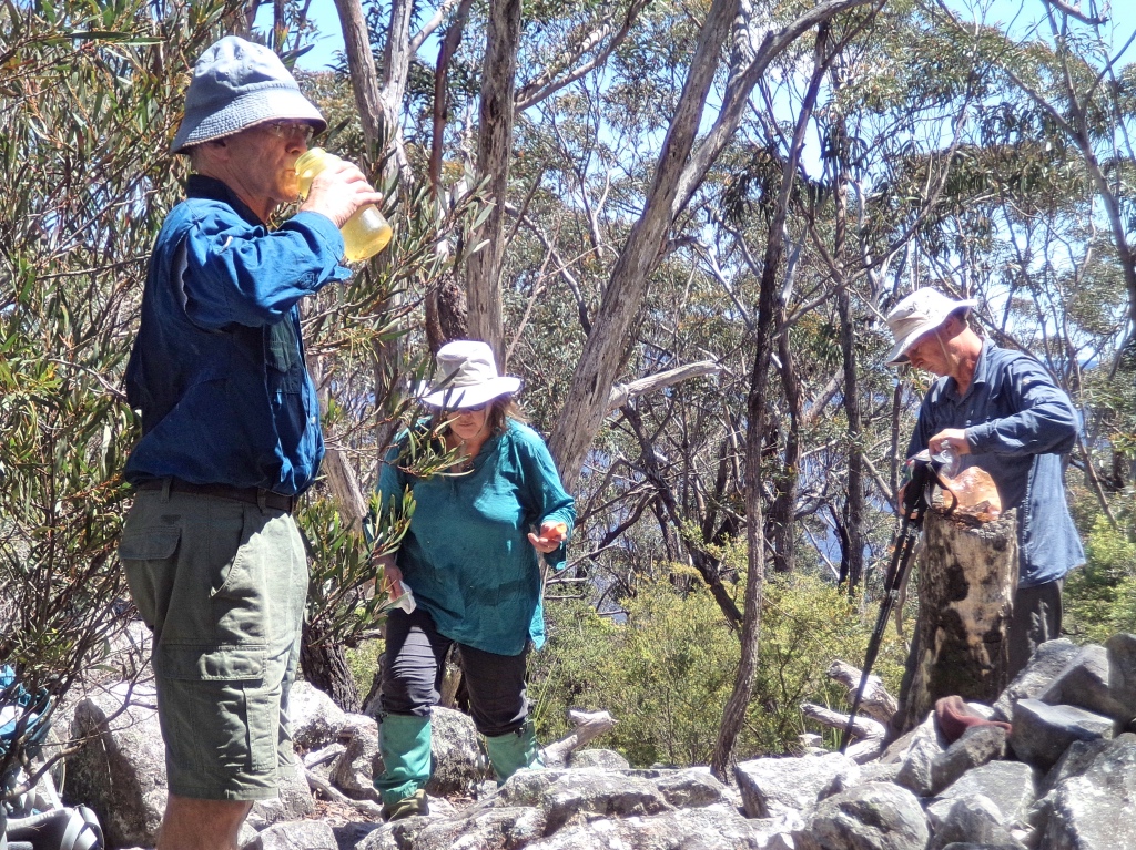
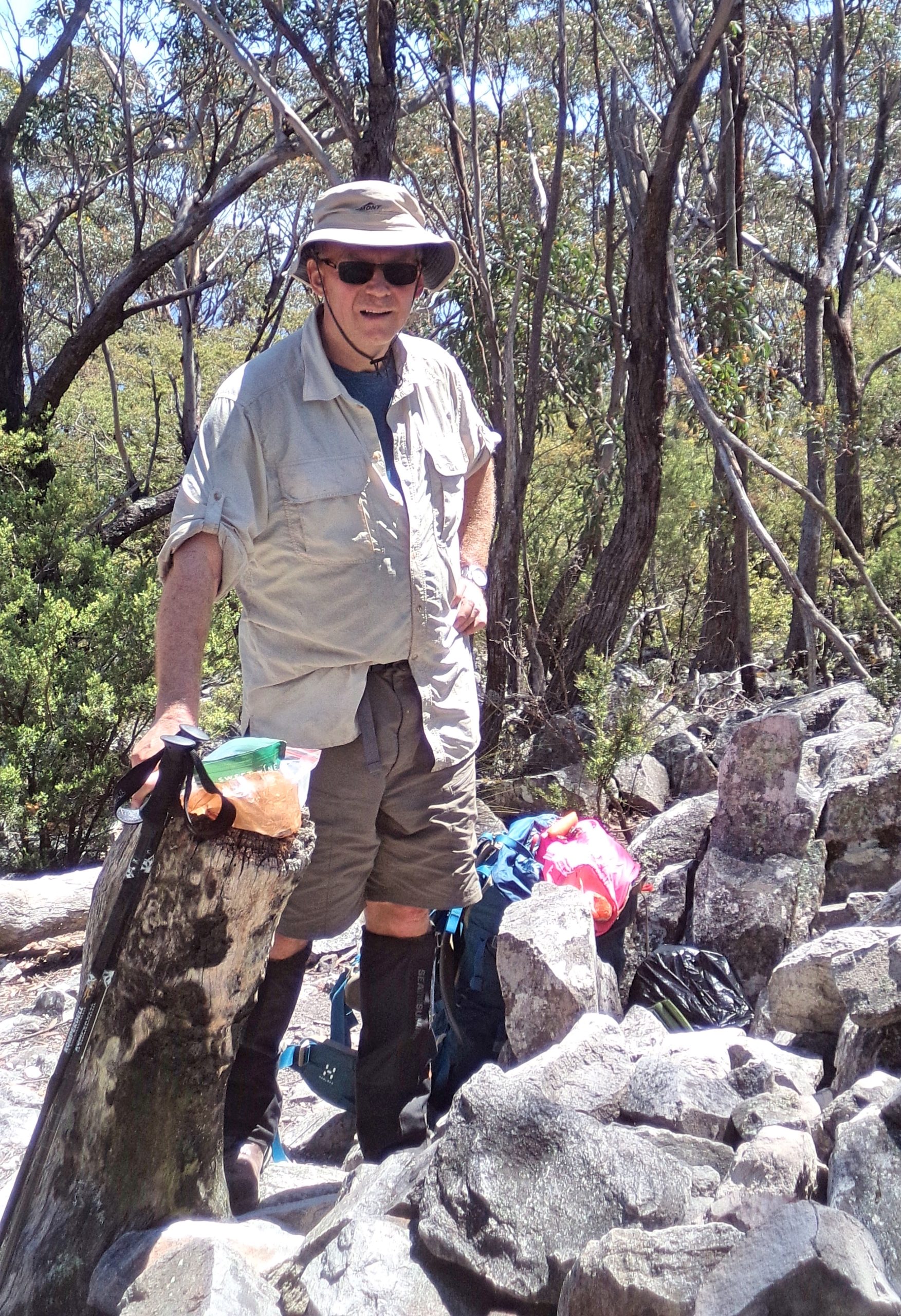
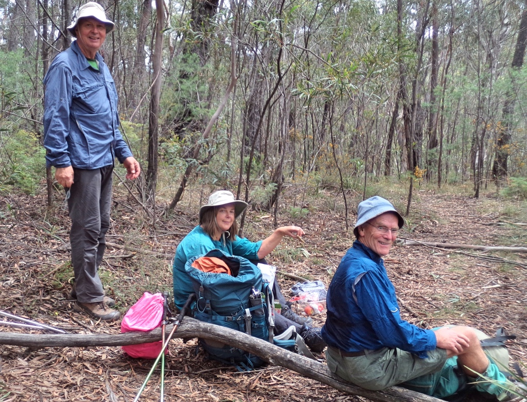
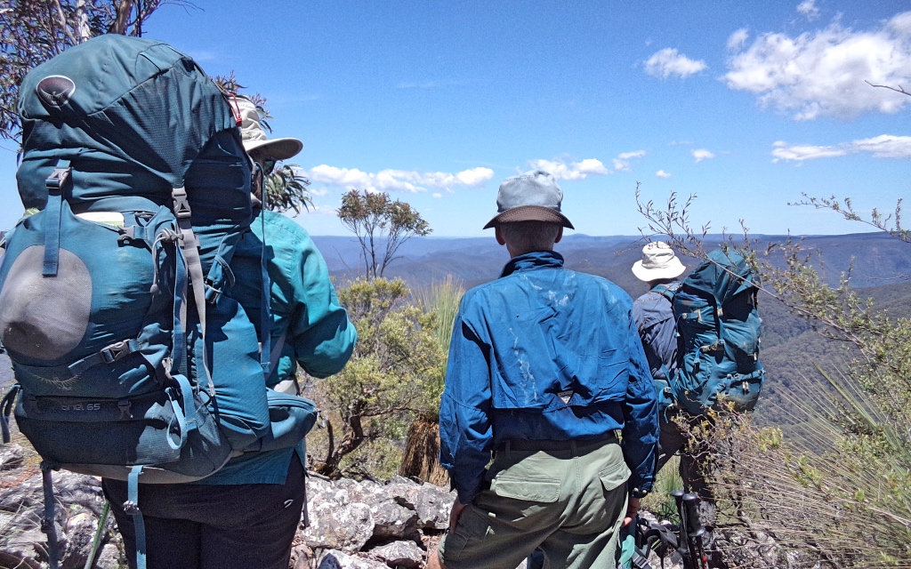
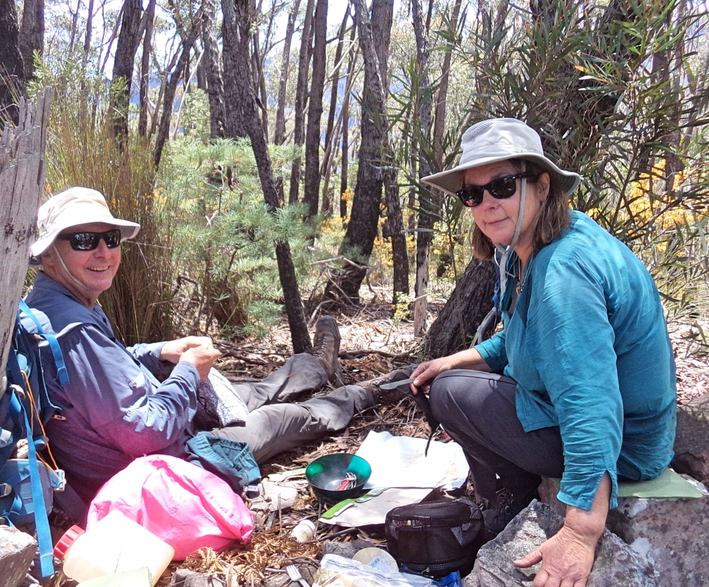
Before us stretched the Gangerang range, the knolls of Rick, Rack, Roar and Rumble, Mounts Stormbreaker and High and Mighty. We had lunch on the ridge before High and Mighty. Descending over the rocks and the steeper slopes was a little slow for us, our knees not being what they were, so another break in the green clearing of Gabes gap was very welcome. Here, we met the only other people we saw, an adventurous couple powering along, doing Katoomba to Kanangra in a day, walking since 4am.
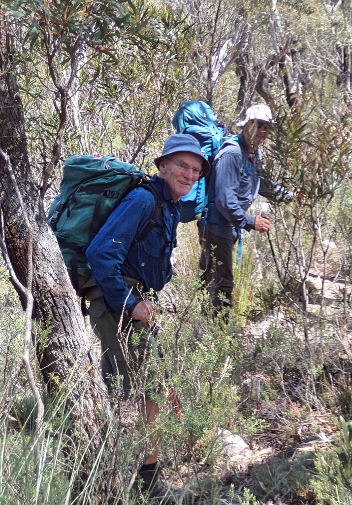
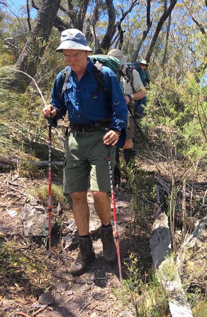
We made good time up Mt Berry and followed on along the ridge towards Crafts walls. Slower progress along the side of Crafts walls where the track went up and down a bit around obstacles and was not so clear in places.
We descended onto Kilpatrick causeway and walked along though the forest with the fall off into Kanangra deep on our right and the light westering. Time was passing and evening coming. At Crafts walls some voices of dismay had been raised at the sight of Mt Brennan ahead, “You said it was flat!”. But it turned out not so bad after all and we were soon at the bottom of Smith pass. Put the poles away and a bit of a scramble and your up on the Brennan tops, in the heath again. Nowhere as daunting or exposed as Compagnoni pass.
Soon we were recognising bits of the track from our inattentive navigation of two days ago.
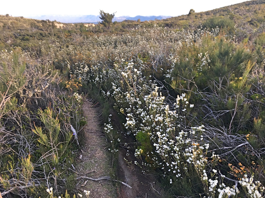
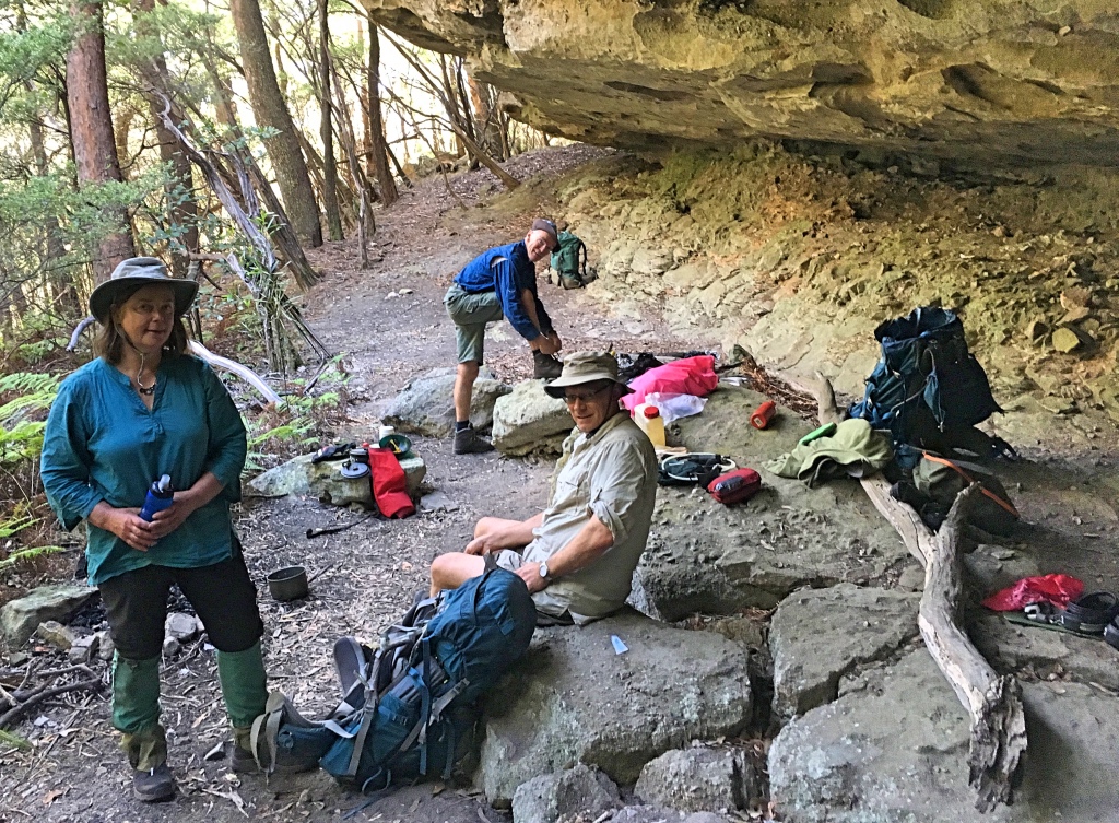
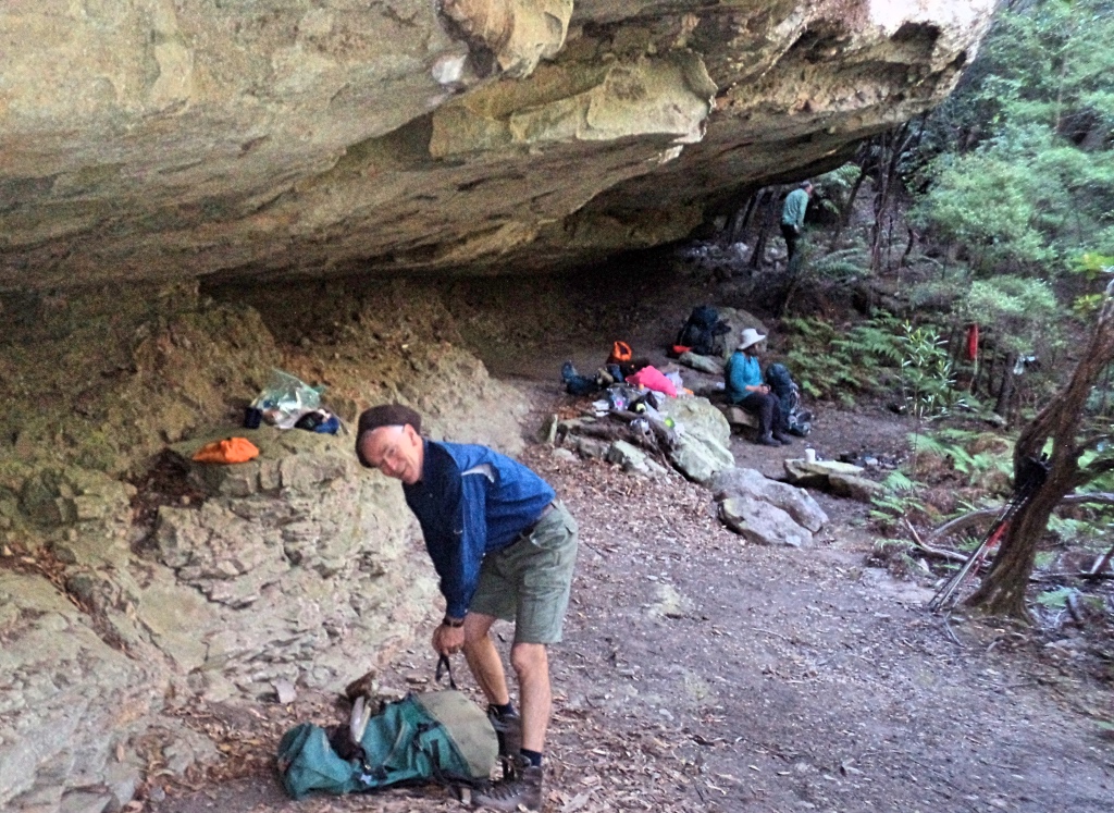
We plodded on the last few k’s through the heath with the wildflowers in brilliant form and there was some relief when we went to the dance floor cave to top up our water from the standpipe. The cool water suaged our thirst and we finished the last little bit, back to the car.
7 pm finish. It had been a good day, but our feet were glad to finish.
Headed back to Boyd river, to camp the night before returning to Sydney next day.
We enjoyed great weather, making this a memorable walk. Reminiscences of walks done when David and I were young and introducing Ruth and Brian to the joys of the Blue Mountains, on what is great loop walk. This is a walk I have wanted to do for some time: especially to see what the old stock route along Gingra must have been like (still to see what remains of the old road in the creek); to revisit Ti Willa and Compagnoni pass with the best view in the mountains; we finally found 100 Man cave (we missed it 40 years ago); and to return to the high Gangerang, such an iconic route. Great time of year, and beautiful wildflowers out along the way. Well satisfied with that.